Earthquake SOUTHERN SUMATRA, INDONESIA
Mon, 19 Jan 2026 21:40:38 GMT
Time1 month ago
Location
-0.3700, 99.0800
Depth
10.0 KM
Event Summary
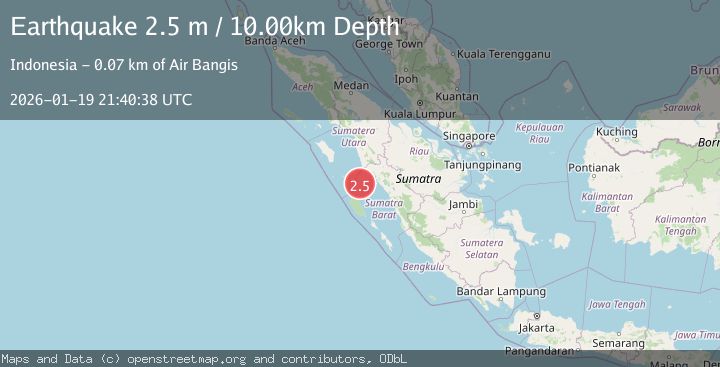
A 2.5 magnitude earthquake struck on SOUTHERN SUMATRA, INDONESIA, at Mon, 19 Jan 2026 21:40:38 GMT. Depth: 10km. Reviewed by BMKG seismologists, this minor quake occurred at a magnitude type of m.
Magnitude
2.5
m
Source
BMKG
Intensity
-
Agency Reports
1 Sources| Source | Magnitude | Depth | Time |
|---|---|---|---|
| BMKGPrimary | 2.5 | 10 km | 1 month ago |
Earthquake Details
AutomaticEvent IDemsc_BMKG_20260119_0000303
Tsunami PotentialNo
Magnitude Typem
Nearest Places
- Karang Drakes18.5 km
- Karang West Pylades28.8 km
- Karang East Pylades37.9 km
- Karang Anso44.8 km
- Pulau Anso47.6 km
Comments
Join the discussion about this event.
Latest Earthquakes
2.3Mag
Southern Alaska
Time2 minutes ago
Depth0.00 km
SourceVYT (Automatic)
3.5Mag
Tanimbar Islands Region, Indonesia
Time4 minutes ago
Depth358.34 km
SourceBMKG
1.8Mag
Antofagasta, Chile
Time4 minutes ago
Depth123.66 km
SourceVYT (Automatic)
1.6Mag
17 km ENE of Garden City, Texas
Time9 minutes ago
Depth3.48 km
SourceUSGS (Automatic)
3.6Mag
Papua, Indonesia
Time10 minutes ago
Depth0.98 km
SourceVYT (Automatic)
Nearby Earthquakes
3.0Mag
SOUTHERN SUMATRA, INDONESIA
Time2 years ago
Depth21.00 km
SourceBMKG (Automatic)
5.0Mag
SOUTHERN SUMATRA, INDONESIA
Time16 years ago
Depth60.00 km
SourceEMSC (Automatic)
5.1Mag
SOUTHERN SUMATRA, INDONESIA
Time6 years ago
Depth53.00 km
SourceEMSC (Automatic)
3.0Mag
SOUTHERN SUMATRA, INDONESIA
Time5 months ago
Depth18.00 km
SourceBMKG (Automatic)
2.9Mag
Southern Sumatra, Indonesia
Time1 week ago
Depth10.00 km
SourceBMKG (Automatic)