Earthquake Southern Sumatra, Indonesia
Sat, 28 Feb 2026 00:21:02 GMT
Time1 hour ago
Location
-5.9945, 103.8148
Depth
17.7 KM
Event Summary
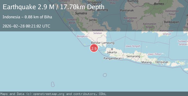
A 2.9 magnitude earthquake struck on Southern Sumatra, Indonesia, at Sat, 28 Feb 2026 00:21:02 GMT. Depth: 17.704836km. Reviewed by BMKG seismologists, this minor quake occurred at a magnitude type of M.
Magnitude
2.9
M
Source
BMKG
Intensity
-
Agency Reports
1 Sources| Source | Magnitude | Depth | Time |
|---|---|---|---|
| BMKGPrimary | 2.9 | 18 km | 1 hour ago |
Earthquake Details
ManualEvent IDbmg2026ebzw
Tsunami PotentialNo
Magnitude TypeM
Nearest Places
- 7.2 km
- 67.5 km
- 67.9 km
- 68.1 km
- 68.3 km
Comments
Join the discussion about this event.
Latest Earthquakes
2.7Mag
Coquimbo, Chile
Time1 hour ago
Depth8.91 km
SourceVYT (Automatic)
3.1Mag
Banda Sea
Time1 hour ago
Depth205.55 km
SourceBMKG
4.1Mag
Timor Sea
Time1 hour ago
Depth204.22 km
SourceVYT (Automatic)
2.4Mag
Tarapaca, Chile
Time1 hour ago
Depth98.27 km
SourceVYT (Automatic)
4.2Mag
Kalimantan, Indonesia
Time1 hour ago
Depth410.03 km
SourceVYT (Automatic)
Nearby Earthquakes
5.4Mag
SOUTHWEST OF SUMATRA, INDONESIA
Time10 years ago
Depth60.00 km
SourceEMSC (Automatic)
2.6Mag
Southern Sumatra, Indonesia
Time1 week ago
Depth1.60 km
SourceBMKG
2.5Mag
SOUTHWEST OF SUMATRA, INDONESIA
Time1 month ago
Depth0.00 km
SourceBMKG (Automatic)
3.0Mag
SOUTHERN SUMATRA, INDONESIA
Time2 years ago
Depth10.00 km
SourceDJA (Automatic)
5.5Mag
SOUTHWEST OF SUMATRA, INDONESIA
Time20 years ago
Depth33.00 km
SourceEMSC (Automatic)