Earthquake Near North Coast of West Papua
Sat, 28 Feb 2026 07:31:16 GMT
Time1 hour ago
Location
-2.2579, 140.3936
Depth
10.0 KM
Event Summary
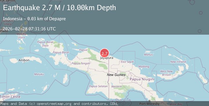
A 2.7 magnitude earthquake struck on Near North Coast of West Papua, at Sat, 28 Feb 2026 07:31:16 GMT. Depth: 10km. Reviewed by BMKG seismologists, this minor quake occurred at a magnitude type of M.
Magnitude
2.7
M
Source
BMKG
Intensity
-
Agency Reports
1 Sources| Source | Magnitude | Depth | Time |
|---|---|---|---|
| BMKGPrimary | 2.7 | 10 km | 1 hour ago |
Earthquake Details
ManualEvent IDbmg2026ecob
Tsunami PotentialNo
Magnitude TypeM
Nearest Places
- 15.8 km
- 16.1 km
- 17.7 km
- 18.2 km
- 19.6 km
Comments
Join the discussion about this event.
Latest Earthquakes
1.0Mag
Central Alaska
Time1 hour ago
Depth0.00 km
SourceVYT (Automatic)
1.4Mag
Northern Territory, Australia
Time1 hour ago
Depth11.60 km
SourceVYT (Automatic)
0.9Mag
Southern Alaska
Time1 hour ago
Depth0.00 km
SourceVYT (Automatic)
1.8Mag
51 km NE of Tonopah, Nevada
Time1 hour ago
Depth4.41 km
SourceUSGS (Automatic)
3.4Mag
San Juan, Argentina
Time1 hour ago
Depth92.41 km
SourceVYT (Automatic)
Nearby Earthquakes
2.8Mag
Near North Coast of West Papua
Time1 month ago
Depth12.25 km
SourceBMKG (Automatic)
2.6Mag
Near North Coast of West Papua
Time1 month ago
Depth10.00 km
SourceBMKG (Automatic)
2.6Mag
NEAR N COAST OF PAPUA, INDONESIA
Time1 month ago
Depth17.00 km
SourceBMKG (Automatic)
2.8Mag
Near North Coast of West Papua
Time1 day ago
Depth10.00 km
SourceBMKG
2.5Mag
Near North Coast of West Papua
Time1 week ago
Depth10.00 km
SourceBMKG