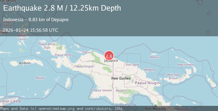
Earthquake Near North Coast of West Papua
Sat, 24 Jan 2026 15:56:58 GMT
Time2 days ago
Location
-2.2490, 140.4191
Depth
12.3 KM
Event Summary
A 2.8 magnitude earthquake struck on Near North Coast of West Papua, at Sat, 24 Jan 2026 15:56:58 GMT. Depth: 12.250117km. Reviewed by BMKG seismologists, this minor quake occurred at a magnitude type of M.
Magnitude
2.8
M
Source
BMKG
Intensity
-
Agency Reports
1 Sources| Source | Magnitude | Depth | Time |
|---|---|---|---|
| BMKGPrimary | 2.8 | 12 km | 2 days ago |
Earthquake Details
AutomaticEvent IDbmg2026brgd
Tsunami PotentialNo
Magnitude TypeM
Nearest Places
- Jafase16.8 km
- Tanjung Tanahmerah18.1 km
- Doromena18.7 km
- Yaona19.1 km
- Sapari20.6 km
Comments
Join the discussion about this event.
Latest Earthquakes
2.5Mag
Northern Sumatra, Indonesia
Time2 minutes ago
Depth5.00 km
SourceBMKG (Automatic)
2.4Mag
EASTERN TURKEY
Time12 minutes ago
Depth4.30 km
SourceKOERI (Automatic)
0.2Mag
6 km WNW of Cobb, CA
Time15 minutes ago
Depth1.56 km
SourceUSGS (Automatic)
1.6Mag
10 km SW of Furnace Creek, California
Time15 minutes ago
Depth7.46 km
SourceUSGS (Automatic)
1.4Mag
17 km NNE of Indio, CA
Time18 minutes ago
Depth3.80 km
SourceUSGS (Automatic)
Nearby Earthquakes
2.6Mag
Near North Coast of West Papua
Time5 days ago
Depth10.00 km
SourceBMKG (Automatic)
2.1Mag
Near North Coast of West Papua
Time1 day ago
Depth10.00 km
SourceBMKG (Automatic)
2.8Mag
Near North Coast of West Papua
Time4 days ago
Depth10.00 km
SourceBMKG (Automatic)
2.1Mag
Near North Coast of West Papua
Time1 day ago
Depth10.56 km
SourceBMKG (Automatic)
2.5Mag
Near North Coast of West Papua
Time23 hours ago
Depth10.00 km
SourceBMKG (Automatic)