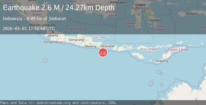
Earthquake South of Bali, Indonesia
Sun, 01 Mar 2026 17:56:48 GMT
Time1 hour ago
Location
-9.3170, 114.5342
Depth
24.3 KM
Event Summary
A 2.6 magnitude earthquake struck on South of Bali, Indonesia, at Sun, 01 Mar 2026 17:56:48 GMT. Depth: 24.27km. Reviewed by BMKG seismologists, this minor quake occurred at a magnitude type of M.
Magnitude
2.6
M
Source
BMKG
Intensity
-
Agency Reports
1 Sources| Source | Magnitude | Depth | Time |
|---|---|---|---|
| BMKGPrimary | 2.6 | 24 km | 1 hour ago |
Earthquake Details
ManualEvent IDbmg2026efef
Tsunami PotentialNo
Magnitude TypeM
Nearest Places
- 59.7 km
- 61.0 km
- 61.9 km
- 63.9 km
- 64.0 km
Comments
Join the discussion about this event.
Latest Earthquakes
1.8Mag
79 km NE of Tonopah, Nevada
Time1 hour ago
Depth8.12 km
SourceUSGS (Automatic)
2.1Mag
NEVADA
Time1 hour ago
Depth11.70 km
SourceNN (Automatic)
1.7Mag
western Texas
Time1 hour ago
Depth8.30 km
SourceVYT (Automatic)
3.0Mag
northern Sumatra, Indonesia
Time1 hour ago
Depth0.00 km
SourceVYT (Automatic)
1.9Mag
7 km WSW of Kahaluu-Keauhou, Hawaii
Time1 hour ago
Depth36.88 km
SourceUSGS (Automatic)
Nearby Earthquakes
2.7Mag
South of Bali, Indonesia
Time1 week ago
Depth10.00 km
SourceBMKG
3.0Mag
SOUTH OF BALI, INDONESIA
Time5 years ago
Depth45.00 km
SourceDJA (Automatic)
6.1Mag
SOUTH OF BALI, INDONESIA
Time14 years ago
Depth60.00 km
SourceEMSC (Automatic)
3.0Mag
SOUTH OF BALI, INDONESIA
Time9 months ago
Depth20.00 km
SourceBMKG (Automatic)
4.0Mag
SOUTH OF BALI, INDONESIA
Time3 years ago
Depth10.00 km
SourceDJA (Automatic)