Earthquake SOUTH OF BALI, INDONESIA
Thu, 13 Oct 2011 03:16:32 GMT
Time14 years ago
Location
-9.4400, 114.6100
Depth
60.0 KM
Event Summary
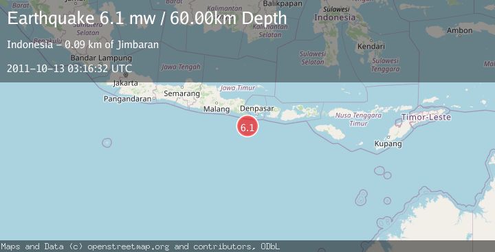
A 6.1 magnitude earthquake struck on SOUTH OF BALI, INDONESIA, at Thu, 13 Oct 2011 03:16:32 GMT. Depth: 60km. Reviewed by EMSC seismologists, this strong quake occurred at a magnitude type of mw.
Magnitude
6.1
mw
Source
EMSC
Intensity
-
Agency Reports
1 Sources| Source | Magnitude | Depth | Time |
|---|---|---|---|
| EMSCPrimary | 6.1 | 60 km | 14 years ago |
Earthquake Details
AutomaticEvent IDemsc_EMSC_20111013_0000007
Tsunami PotentialNo
Magnitude Typemw
Nearest Places
- 73.9 km
- 74.6 km
- 75.3 km
- 77.4 km
- 79.5 km
Comments
Join the discussion about this event.
Latest Earthquakes
0.6Mag
4 km W of Lake Henshaw, CA
Time13 minutes ago
Depth12.17 km
SourceUSGS (Automatic)
1.6Mag
28 km SE of Point Possession, Alaska
Time18 minutes ago
Depth42.70 km
SourceUSGS (Automatic)
3.1Mag
southern Sumatra, Indonesia
Time19 minutes ago
Depth0.00 km
SourceVYT (Automatic)
1.5Mag
western Texas
Time19 minutes ago
Depth3.54 km
SourceVYT (Automatic)
1.4Mag
WESTERN TURKEY
Time19 minutes ago
Depth7.00 km
SourceAFAD (Automatic)
Nearby Earthquakes
3.0Mag
SOUTH OF BALI, INDONESIA
Time4 years ago
Depth45.00 km
SourceDJA (Automatic)
2.7Mag
South of Bali, Indonesia
Time2 hours ago
Depth44.05 km
SourceBMKG
2.8Mag
SOUTH OF BALI, INDONESIA
Time1 month ago
Depth37.00 km
SourceBMKG (Automatic)
4.4Mag
SOUTH OF BALI, INDONESIA
Time1 month ago
Depth10.00 km
SourceBMKG (Automatic)
5.0Mag
SOUTH OF BALI, INDONESIA
Time14 years ago
Depth65.00 km
SourceEMSC (Automatic)