Earthquake West Papua, Indonesia
Mon, 02 Mar 2026 20:14:10 GMT
Time1 hour ago
Location
-3.7397, 136.8953
Depth
121.4 KM
Event Summary
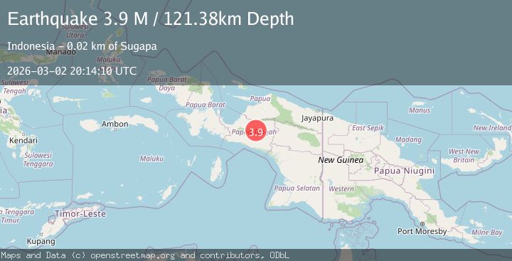
A 3.9 magnitude earthquake struck on West Papua, Indonesia, at Mon, 02 Mar 2026 20:14:10 GMT. Depth: 121.384987km. Reviewed by BMKG seismologists, this minor quake occurred at a magnitude type of M.
Magnitude
3.9
M
Source
BMKG
Intensity
-
Agency Reports
1 Sources| Source | Magnitude | Depth | Time |
|---|---|---|---|
| BMKGPrimary | 3.9 | 121 km | 1 hour ago |
Earthquake Details
ManualEvent IDbmg2026eheg
Tsunami PotentialNo
Magnitude TypeM
Nearest Places
- 0.3 km
- 2.4 km
- 3.0 km
- 4.1 km
- 5.3 km
Comments
Join the discussion about this event.
Latest Earthquakes
3.3Mag
Sulawesi, Indonesia
Time1 hour ago
Depth1.59 km
SourceVYT (Automatic)
2.5Mag
Flores region, Indonesia
Time2 hours ago
Depth3.91 km
SourceVYT (Automatic)
0.8Mag
Alaska Peninsula
Time2 hours ago
Depth0.12 km
SourceVYT (Automatic)
0.7Mag
WESTERN TURKEY
Time2 hours ago
Depth7.00 km
SourceAFAD (Automatic)
1.1Mag
13 km WSW of Stanton, Texas
Time2 hours ago
Depth4.16 km
SourceUSGS (Automatic)
Nearby Earthquakes
3.6Mag
PAPUA, INDONESIA
Time1 month ago
Depth179.00 km
SourceBMKG (Automatic)
4.0Mag
PAPUA, INDONESIA
Time2 months ago
Depth140.00 km
SourceBMKG (Automatic)
5.3Mag
PAPUA, INDONESIA
Time7 years ago
Depth40.00 km
SourceEMSC (Automatic)
3.0Mag
PAPUA, INDONESIA
Time4 months ago
Depth139.00 km
SourceBMKG (Automatic)
3.8Mag
West Papua, Indonesia
Time3 weeks ago
Depth115.48 km
SourceBMKG (Automatic)