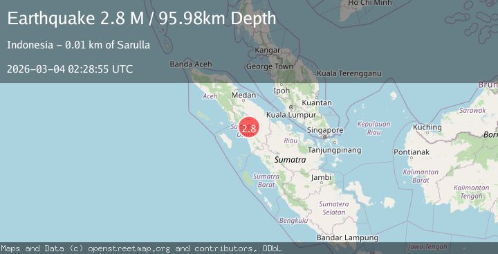
Earthquake Northern Sumatra, Indonesia
Wed, 04 Mar 2026 02:28:55 GMT
Time1 hour ago
Location
1.9014, 99.0484
Depth
96.0 KM
Event Summary
A 2.8 magnitude earthquake struck on Northern Sumatra, Indonesia, at Wed, 04 Mar 2026 02:28:55 GMT. Depth: 95.980904km. Reviewed by BMKG seismologists, this minor quake occurred at a magnitude type of M.
Magnitude
2.8
M
Source
BMKG
Intensity
-
Agency Reports
1 Sources| Source | Magnitude | Depth | Time |
|---|---|---|---|
| BMKGPrimary | 2.8 | 96 km | 1 hour ago |
Earthquake Details
ManualEvent IDbmg2026ejmc
Tsunami PotentialNo
Magnitude TypeM
Nearest Places
- 0.8 km
- 0.9 km
- 1.0 km
- 1.3 km
- 1.5 km
Comments
Join the discussion about this event.
Latest Earthquakes
3.5Mag
offshore Bio-Bio, Chile
Time1 hour ago
Depth0.00 km
SourceVYT (Automatic)
2.0Mag
Southeastern Alaska
Time1 hour ago
Depth0.00 km
SourceVYT (Automatic)
2.7Mag
BHUTAN
Time1 hour ago
Depth5.00 km
SourceNDI (Automatic)
2.2Mag
Southeastern Alaska
Time1 hour ago
Depth0.00 km
SourceVYT (Automatic)
2.5Mag
Antofagasta, Chile
Time1 hour ago
Depth26.61 km
SourceVYT (Automatic)
Nearby Earthquakes
5.1Mag
NORTHERN SUMATRA, INDONESIA
Time1 year ago
Depth129.70 km
SourceEMSC (Automatic)
3.0Mag
NORTHERN SUMATRA, INDONESIA
Time1 month ago
Depth1.00 km
SourceBMKG (Automatic)
3.0Mag
Northern Sumatra, Indonesia
Time1 day ago
Depth127.93 km
SourceBMKG
3.0Mag
NORTHERN SUMATRA, INDONESIA
Time11 months ago
Depth10.00 km
SourceBMKG (Automatic)
3.0Mag
NORTHERN SUMATRA, INDONESIA
Time4 years ago
Depth106.00 km
SourceDJA (Automatic)