Earthquake Bali Region, Indonesia
Thu, 05 Mar 2026 16:55:07 GMT
Time2 hours ago
Location
-8.5934, 114.8125
Depth
17.9 KM
Event Summary
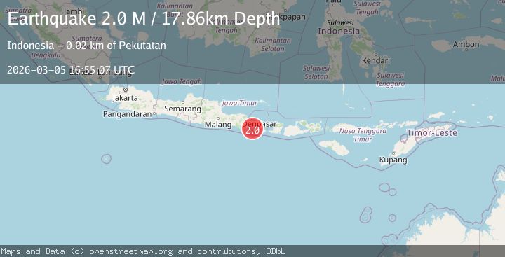
A 2.0 magnitude earthquake struck on Bali Region, Indonesia, at Thu, 05 Mar 2026 16:55:07 GMT. Depth: 17.857851km. Reviewed by BMKG seismologists, this minor quake occurred at a magnitude type of M.
Magnitude
2.0
M
Source
BMKG
Intensity
-
Agency Reports
1 Sources| Source | Magnitude | Depth | Time |
|---|---|---|---|
| BMKGPrimary | 2.0 | 18 km | 2 hours ago |
Earthquake Details
ManualEvent IDbmg2026emke
Tsunami PotentialNo
Magnitude TypeM
Nearest Places
- 17.6 km
- 17.7 km
- 17.7 km
- 17.8 km
- 17.9 km
Comments
Join the discussion about this event.
Latest Earthquakes
2.7Mag
Antofagasta, Chile
Time2 hours ago
Depth122.07 km
SourceVYT (Automatic)
1.0Mag
6 km WNW of The Geysers, CA
Time2 hours ago
Depth3.45 km
SourceUSGS (Automatic)
2.5Mag
Sulawesi, Indonesia
Time2 hours ago
Depth0.00 km
SourceVYT (Automatic)
1.9Mag
3 km SSW of Pāhala, Hawaii
Time2 hours ago
Depth29.29 km
SourceUSGS (Automatic)
2.1Mag
Tarapaca, Chile
Time2 hours ago
Depth111.94 km
SourceVYT (Automatic)
Nearby Earthquakes
3.0Mag
BALI REGION, INDONESIA
Time3 years ago
Depth50.00 km
SourceDJA (Automatic)
2.8Mag
BALI REGION, INDONESIA
Time2 months ago
Depth95.00 km
SourceBMKG (Automatic)
2.7Mag
Bali Region, Indonesia
Time1 month ago
Depth46.02 km
SourceBMKG (Automatic)
2.5Mag
Bali Region, Indonesia
Time1 month ago
Depth90.70 km
SourceBMKG (Automatic)
3.0Mag
BALI REGION, INDONESIA
Time3 years ago
Depth68.00 km
SourceDJA (Automatic)