Earthquake Tanimbar Islands Region, Indonesia
Fri, 10 Apr 2026 23:02:18 GMT
Time3 weeks ago
Location
-6.8666, 131.8982
Depth
96.8 KM
Event Summary
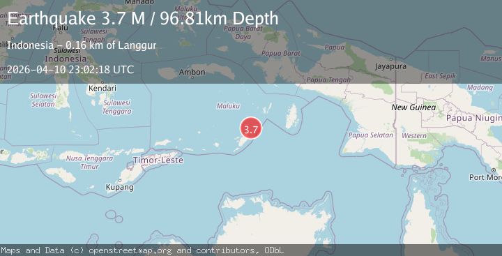
A 3.7 magnitude earthquake struck on Tanimbar Islands Region, Indonesia, at Fri, 10 Apr 2026 23:02:18 GMT. Depth: 96.809151km. Reviewed by BMKG seismologists, this minor quake occurred at a magnitude type of M.
Magnitude
3.7
M
Source
BMKG
Intensity
-
Agency Reports
2 Sources| Source | Magnitude | Depth | Time |
|---|---|---|---|
| BMKGPrimary | 3.7 | 97 km | 3 weeks ago |
| VYT | 3.5 | 139 km | 3 weeks ago |
Earthquake Details
ManualEvent IDbmg2026haqk
QualityS
Tsunami PotentialNo
Magnitude TypeM
Last Update3 weeks ago
Used Stations54
Total Stations54
Felt Reports0
Did you feel this earthquake? Report it to help others.
No reports yet
Be the first to report this earthquake!
Latest Earthquakes
Loading...
Nearby Earthquakes
4.6Mag
Tanimbar Islands Region, Indonesia
Time1 week ago
Depth79.58 km
SourceBMKG
3.6Mag
Tanimbar Islands Region, Indonesia
Time1 week ago
Depth96.01 km
SourceBMKG
3.9Mag
KEP. TANIMBAR REGION, INDONESIA
Time2 weeks ago
Depth74.00 km
SourceBMKG (Automatic)
4.5Mag
Kepulauan Tanimbar, Indonesia
Time3 weeks ago
Depth150.02 km
SourceVYT (Automatic)
4.4Mag
Kepulauan Tanimbar, Indonesia
Time0 months ago
Depth154.42 km
SourceVYT (Automatic)