Earthquake PHILIPPINE ISLANDS REGION
Thu, 01 Jan 2026 16:16:02 GMT
Time1 hour ago
Location
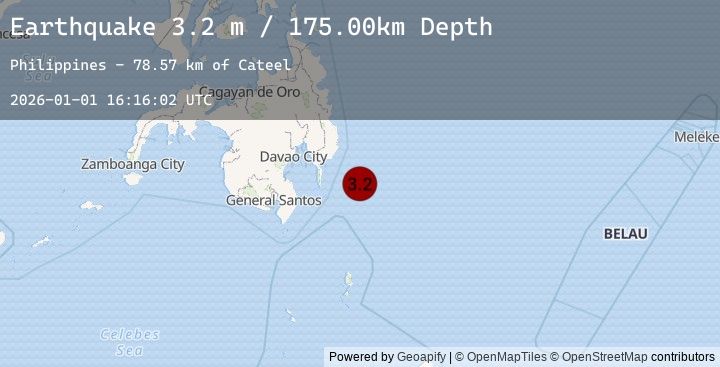
6.4700, 127.0700
Depth
175.0 KM
Event Summary
A 3.2 magnitude earthquake struck on PHILIPPINE ISLANDS REGION, at Thu, 01 Jan 2026 16:16:02 GMT. Depth: 175km. Reviewed by PIVS seismologists, this minor quake occurred at a magnitude type of m.
Magnitude
3.2
m
Source
PIVS
Intensity
-
Earthquake Details
AutomaticEvent IDemsc_20260101_0000277
Tsunami PotentialNo
Magnitude Typem
Nearest Places
- Cateel78.5 km
- Lamigan Point87.7 km
- Mayo Bay88.8 km
- Tugubun Point89.3 km
- Taganilac89.7 km
Comments
Join the discussion about this event.
Latest Earthquakes
2.1Mag
6 km NNE of Castaic, CA
Time1 hour ago
Depth9.43 km
SourceUSGS (Automatic)
2.0Mag
SOUTHERN CALIFORNIA
Time1 hour ago
Depth11.60 km
SourceSCSN (Automatic)
1.1Mag
WESTERN TURKEY
Time1 hour ago
Depth7.00 km
SourceEMSC (Automatic)
2.2Mag
56 km WNW of Nanwalek, Alaska
Time1 hour ago
Depth89.70 km
SourceUSGS (Automatic)
3.7Mag
SUCRE, VENEZUELA
Time1 hour ago
Depth1.00 km
SourceEMSC (Automatic)