Earthquake SOUTHERN CALIFORNIA
Thu, 01 Jan 2026 16:47:28 GMT
Time2 hours ago
Location
34.3995, -116.4502
Depth
4.4 KM
Event Summary
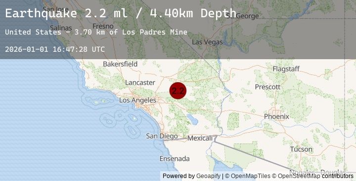
A 2.2 magnitude earthquake struck on SOUTHERN CALIFORNIA, at Thu, 01 Jan 2026 16:47:28 GMT. Depth: 4.4km. Reviewed by SCSN seismologists, this minor quake occurred at a magnitude type of ml.
Magnitude
2.2
ml
Source
SCSN
Intensity
-
Earthquake Details
AutomaticEvent IDemsc_20260101_0000287
Tsunami PotentialNo
Magnitude Typeml
Nearest Places
- Los Padres Mine3.7 km
- Means Lake5.3 km
- Means Well6.0 km
- Blue Ribbon Mine6.4 km
- Emerson Lake7.3 km
Comments
Join the discussion about this event.
Latest Earthquakes
2.4Mag
Banda Sea
Time2 hours ago
Depth202.30 km
SourceBMKG (Automatic)
3.3Mag
CZECH REPUBLIC
Time2 hours ago
Depth5.00 km
SourceGFZ (Automatic)
3.6Mag
Minahassa Peninsula, Sulawesi
Time3 hours ago
Depth242.60 km
SourceBMKG (Automatic)
3.6Mag
MINAHASA, SULAWESI, INDONESIA
Time3 hours ago
Depth243.00 km
SourceBMKG (Automatic)
1.3Mag
25 km S of Trona, CA
Time3 hours ago
Depth8.25 km
SourceUSGS (Automatic)
Nearby Earthquakes
1.8Mag
7 km NNW of Big Bear Lake, CA
Time4 hours ago
Depth1.09 km
SourceUSGS (Automatic)
0.3Mag
8 km SE of Winchester, CA
Time9 hours ago
Depth10.17 km
SourceUSGS (Automatic)
1.0Mag
3 km NNW of Fontana, CA
Time10 hours ago
Depth4.02 km
SourceUSGS (Automatic)
1.0Mag
3 km NNW of Fontana, CA
Time10 hours ago
Depth2.30 km
SourceUSGS (Automatic)
1.6Mag
16 km WSW of Ludlow, CA
Time15 hours ago
Depth1.81 km
SourceUSGS (Automatic)