Earthquake SOUTH OF KERMADEC ISLANDS
Thu, 01 Jan 2026 21:46:37 GMT
Time5 hours ago
Location
-33.4950, 179.6554
Depth
398.8 KM
Event Summary
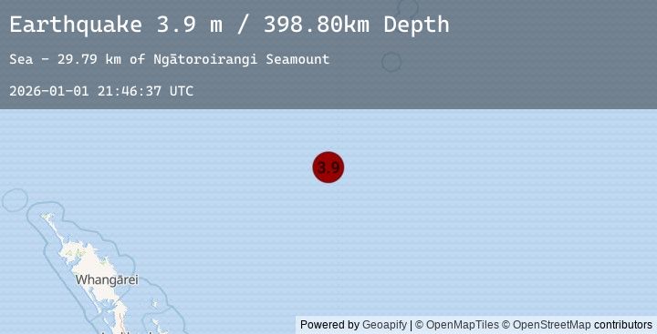
A 3.9 magnitude earthquake struck on SOUTH OF KERMADEC ISLANDS, at Thu, 01 Jan 2026 21:46:37 GMT. Depth: 398.8km. Reviewed by GNS seismologists, this minor quake occurred at a magnitude type of m.
Magnitude
3.9
m
Source
GNS
Intensity
-
Agency Reports
1 Sources| Source | Magnitude | Depth | Time |
|---|---|---|---|
| GNSPrimary | 3.9 | 399 km | 5 hours ago |
Earthquake Details
AutomaticEvent IDemsc_20260101_0000345
Tsunami PotentialNo
Magnitude Typem
Nearest Places
- Ngātoroirangi Seamount29.8 km
- Kuiwai Seamount53.9 km
- Haungaroa Seamount117.6 km
- Kibblewhite Seamount127.6 km
- Oliver Knoll137.5 km
Comments
Join the discussion about this event.
Latest Earthquakes
1.0Mag
20 km E of Little Lake, CA
Time5 hours ago
Depth5.95 km
SourceUSGS (Automatic)
2.2Mag
11 km ENE of Willow, Alaska
Time5 hours ago
Depth28.80 km
SourceUSGS (Automatic)
0.8Mag
10 km WNW of The Geysers, CA
Time5 hours ago
Depth2.55 km
SourceUSGS (Automatic)
2.3Mag
Minahassa Peninsula, Sulawesi
Time5 hours ago
Depth10.00 km
SourceBMKG (Automatic)
1.7Mag
15 km SW of Hope, Alaska
Time5 hours ago
Depth39.30 km
SourceUSGS (Automatic)
Nearby Earthquakes
No significant earthquakes nearby recently.