Earthquake 10 km WNW of The Geysers, CA
Thu, 01 Jan 2026 21:39:07 GMT
Time2 hours ago
Location
38.8262, -122.8540
Depth
2.5 KM
Event Summary
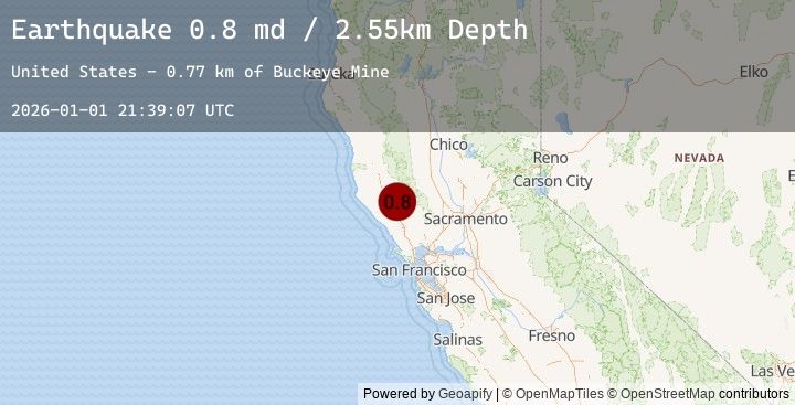
A 0.8 magnitude earthquake struck on 10 km WNW of The Geysers, CA, at Thu, 01 Jan 2026 21:39:07 GMT. Depth: 2.54999995231628km. Reviewed by USGS seismologists, this minor quake occurred at a magnitude type of md.
Magnitude
0.8
md
Source
USGS
Intensity
-
Agency Reports
2 Sources| Source | Magnitude | Depth | Time |
|---|---|---|---|
| USGSPrimary | 0.8 | 3 km | 2 hours ago |
| USGSPrimary | 0.8 | 3 km | 1 hour ago |
Earthquake Details
AutomaticEvent IDusgs_nc75289816
Tsunami PotentialNo
Magnitude Typemd
Nearest Places
- Buckeye Mine0.5 km
- Hummingbird Creek1.4 km
- Alder Creek1.5 km
- Truitt Creek1.5 km
- Cloverdale Mine Headquarters1.6 km
Comments
Join the discussion about this event.
Latest Earthquakes
2.2Mag
26 km NW of Beluga, Alaska
Time48 minutes ago
Depth69.20 km
SourceUSGS (Automatic)
3.7Mag
SHIKOKU, JAPAN
Time55 minutes ago
Depth40.00 km
SourceJMA (Automatic)
1.9Mag
64 km E of Port Alsworth, Alaska
Time1 hour ago
Depth140.20 km
SourceUSGS (Automatic)
2.1Mag
Northern Sumatra, Indonesia
Time1 hour ago
Depth3.36 km
SourceBMKG (Automatic)
2.3Mag
WESTERN TURKEY
Time1 hour ago
Depth12.90 km
SourceEMSC (Automatic)
Nearby Earthquakes
1.4Mag
9 km WNW of Cobb, CA
Time3 hours ago
Depth1.77 km
SourceUSGS (Automatic)
1.6Mag
1 km NNW of The Geysers, CA
Time4 hours ago
Depth1.67 km
SourceUSGS (Automatic)
1.1Mag
10 km NW of The Geysers, CA
Time6 hours ago
Depth1.71 km
SourceUSGS (Automatic)
0.6Mag
3 km NNW of The Geysers, CA
Time6 hours ago
Depth3.56 km
SourceUSGS (Automatic)
1.1Mag
6 km NNW of The Geysers, CA
Time6 hours ago
Depth2.77 km
SourceUSGS (Automatic)