Earthquake SUMBAWA REGION, INDONESIA
Sun, 04 Jan 2026 11:07:48 GMT
Time2 days ago
Location
-8.5300, 118.5900
Depth
165.0 KM
Event Summary
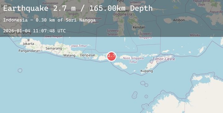
A 2.7 magnitude earthquake struck on SUMBAWA REGION, INDONESIA, at Sun, 04 Jan 2026 11:07:48 GMT. Depth: 165km. Reviewed by BMKG seismologists, this minor quake occurred at a magnitude type of m.
Magnitude
2.7
m
Source
BMKG
Intensity
-
Agency Reports
1 Sources| Source | Magnitude | Depth | Time |
|---|---|---|---|
| BMKGPrimary | 2.7 | 165 km | 2 days ago |
Earthquake Details
AutomaticEvent IDemsc_20260104_0000151
Tsunami PotentialNo
Magnitude Typem
Nearest Places
- Sori Nangga0.3 km
- Sambitangga1.0 km
- Rade Dua1.0 km
- Doro Kopalawu1.2 km
- Doro Bolo Nae1.4 km
Comments
Join the discussion about this event.
Latest Earthquakes
1.8Mag
59 km S of Whites City, New Mexico
Time2 days ago
Depth4.15 km
SourceUSGS (Automatic)
1.1Mag
13 km S of Jamul, CA
Time2 days ago
Depth14.94 km
SourceUSGS (Automatic)
1.6Mag
23 km WNW of Kermit, Texas
Time2 days ago
Depth6.16 km
SourceUSGS (Automatic)
1.7Mag
WESTERN TURKEY
Time2 days ago
Depth7.10 km
SourceAFAD (Automatic)
2.6Mag
West Papua Region, Indonesia
Time2 days ago
Depth10.00 km
SourceBMKG (Automatic)
Nearby Earthquakes
2.7Mag
Sumbawa Region, Indonesia
Time2 days ago
Depth15.13 km
SourceBMKG (Automatic)
2.3Mag
Sumbawa Region, Indonesia
Time3 days ago
Depth20.94 km
SourceBMKG (Automatic)
2.4Mag
Sumba Region, Indonesia
Time3 days ago
Depth12.69 km
SourceBMKG (Automatic)
2.5Mag
Sumbawa Region, Indonesia
Time3 days ago
Depth18.89 km
SourceBMKG (Automatic)
2.0Mag
Sumbawa Region, Indonesia
Time3 days ago
Depth24.01 km
SourceBMKG (Automatic)