Earthquake NEAR S COAST OF PAPUA, INDONESIA
Mon, 05 Jan 2026 22:48:52 GMT
Time4 days ago
Location
-4.8000, 133.9800
Depth
97.0 KM
Event Summary
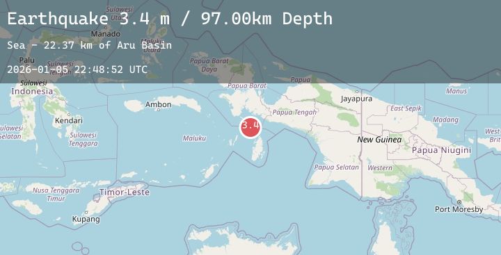
A 3.4 magnitude earthquake struck on NEAR S COAST OF PAPUA, INDONESIA, at Mon, 05 Jan 2026 22:48:52 GMT. Depth: 97km. Reviewed by BMKG seismologists, this minor quake occurred at a magnitude type of m.
Magnitude
3.4
m
Source
BMKG
Intensity
-
Agency Reports
1 Sources| Source | Magnitude | Depth | Time |
|---|---|---|---|
| BMKGPrimary | 3.4 | 97 km | 4 days ago |
Earthquake Details
AutomaticEvent IDemsc_20260105_0000325
Tsunami PotentialNo
Magnitude Typem
Nearest Places
- Aru Basin22.4 km
- Tanjung Watukebo72.7 km
- Pulau Tumbutumbu74.5 km
- Java Reef76.0 km
- Pulau Toba83.7 km
Comments
Join the discussion about this event.
Latest Earthquakes
3.4Mag
OFF E. COAST OF N. ISLAND, N.Z.
Time4 days ago
Depth33.00 km
SourceGNS (Automatic)
2.3Mag
53 km NW of Tatitlek, Alaska
Time4 days ago
Depth11.80 km
SourceUSGS (Automatic)
3.0Mag
Near North Coast of West Papua
Time4 days ago
Depth15.44 km
SourceBMKG (Automatic)
3.1Mag
Seram, Indonesia
Time4 days ago
Depth9.85 km
SourceBMKG (Automatic)
5.2Mag
NORTHWEST OF KURIL ISLANDS
Time4 days ago
Depth417.10 km
SourceNEIC (Automatic)
Nearby Earthquakes
No significant earthquakes nearby recently.