Earthquake 53 km NW of Tatitlek, Alaska
Mon, 05 Jan 2026 22:49:47 GMT
Time3 days ago
Location
61.1480, -147.4660
Depth
11.8 KM
Event Summary
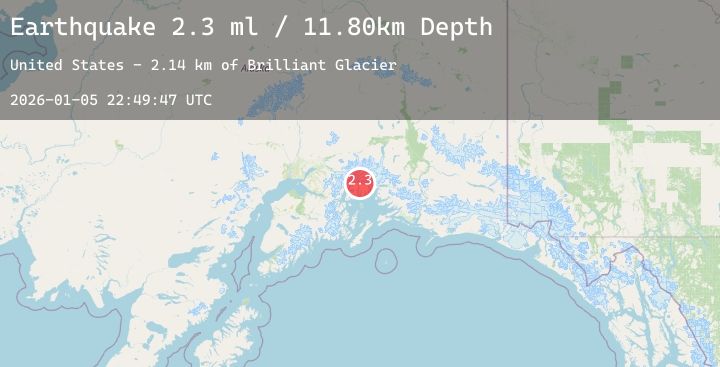
A 2.3 magnitude earthquake struck on 53 km NW of Tatitlek, Alaska, at Mon, 05 Jan 2026 22:49:47 GMT. Depth: 11.8km. Reviewed by USGS seismologists, this minor quake occurred at a magnitude type of ml.
Magnitude
2.3
ml
Source
USGS
Intensity
-
Agency Reports
1 Sources| Source | Magnitude | Depth | Time |
|---|---|---|---|
| USGSPrimary | 2.3 | 12 km | 3 days ago |
Earthquake Details
AutomaticEvent IDusgs_ak2026ajcgyw
Tsunami PotentialNo
Magnitude Typeml
Nearest Places
- Brilliant Glacier2.1 km
- Ranney Creek3.2 km
- Mount Grosvenor4.6 km
- Ranney Glacier6.8 km
- Baby Glacier7.3 km
Comments
Join the discussion about this event.
Latest Earthquakes
3.0Mag
Near North Coast of West Papua
Time3 days ago
Depth15.44 km
SourceBMKG (Automatic)
3.1Mag
Seram, Indonesia
Time3 days ago
Depth9.85 km
SourceBMKG (Automatic)
5.2Mag
NORTHWEST OF KURIL ISLANDS
Time3 days ago
Depth417.10 km
SourceNEIC (Automatic)
2.8Mag
MANIPUR, INDIA REGION
Time3 days ago
Depth30.00 km
SourceNDI (Automatic)
2.0Mag
Sumbawa Region, Indonesia
Time3 days ago
Depth9.13 km
SourceBMKG (Automatic)