Earthquake NEAR COAST OF NORTHERN PERU
Wed, 07 Jan 2026 02:01:12 GMT
Time3 days ago
Location
-8.1900, -79.1400
Depth
71.0 KM
Event Summary
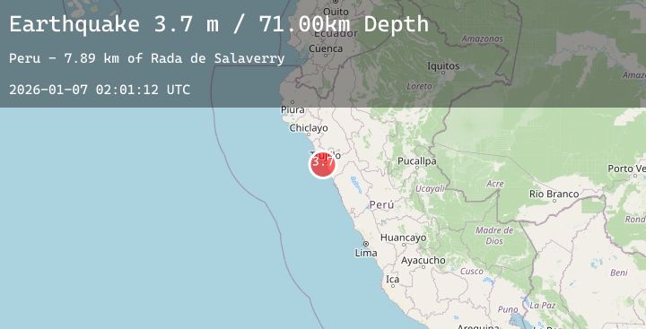
A 3.7 magnitude earthquake struck on NEAR COAST OF NORTHERN PERU, at Wed, 07 Jan 2026 02:01:12 GMT. Depth: 71km. Reviewed by LIM seismologists, this minor quake occurred at a magnitude type of m.
Magnitude
3.7
m
Source
LIM
Intensity
-
Agency Reports
1 Sources| Source | Magnitude | Depth | Time |
|---|---|---|---|
| LIMPrimary | 3.7 | 71 km | 3 days ago |
Earthquake Details
AutomaticEvent IDemsc_20260107_0000039
Tsunami PotentialNo
Magnitude Typem
Nearest Places
- Rada de Salaverry7.9 km
- Playa Huanchaquito10.1 km
- Pampa Alejandro10.7 km
- Huanchaquito10.8 km
- Huamán10.9 km
Comments
Join the discussion about this event.
Latest Earthquakes
2.1Mag
Flores Region, Indonesia
Time3 days ago
Depth112.63 km
SourceBMKG (Automatic)
0.6Mag
20 km ESE of Little Lake, CA
Time3 days ago
Depth7.52 km
SourceUSGS (Automatic)
3.0Mag
South of Sumbawa, Indonesia
Time3 days ago
Depth10.00 km
SourceBMKG (Automatic)
0.8Mag
13 km NW of The Geysers, CA
Time3 days ago
Depth2.48 km
SourceUSGS (Automatic)
1.5Mag
STRAIT OF GIBRALTAR
Time3 days ago
Depth23.20 km
SourceIGN (Automatic)
Nearby Earthquakes
No significant earthquakes nearby recently.