Earthquake PHILIPPINE ISLANDS REGION
Mon, 12 Jan 2026 20:06:14 GMT
Time2 days ago
Location
7.1400, 127.0100
Depth
13.0 KM
Event Summary
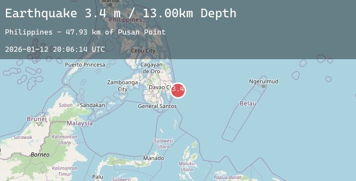
A 3.4 magnitude earthquake struck on PHILIPPINE ISLANDS REGION, at Mon, 12 Jan 2026 20:06:14 GMT. Depth: 13km. Reviewed by PIVS seismologists, this minor quake occurred at a magnitude type of m.
Magnitude
3.4
m
Source
PIVS
Intensity
-
Agency Reports
1 Sources| Source | Magnitude | Depth | Time |
|---|---|---|---|
| PIVSPrimary | 3.4 | 13 km | 2 days ago |
Earthquake Details
AutomaticEvent IDemsc_20260112_0000312
Tsunami PotentialNo
Magnitude Typem
Nearest Places
- Pusan Point47.9 km
- Bunga Cove49.1 km
- Batinao Point49.3 km
- San Isidro49.7 km
- Santiago49.9 km
Comments
Join the discussion about this event.
Latest Earthquakes
3.5Mag
Talaud Islands, Indonesia
Time2 days ago
Depth13.07 km
SourceBMKG (Automatic)
1.5Mag
18 km SSW of Stanton, Texas
Time2 days ago
Depth8.31 km
SourceUSGS (Automatic)
4.2Mag
NEAR WEST COAST OF HONSHU, JAPAN
Time2 days ago
Depth10.00 km
SourceJMA (Automatic)
2.2Mag
Sumbawa Region, Indonesia
Time2 days ago
Depth24.76 km
SourceBMKG (Automatic)
1.7Mag
4 km W of Hiko, Nevada
Time2 days ago
Depth16.00 km
SourceUSGS (Automatic)