Earthquake 4 km W of Hiko, Nevada
Mon, 12 Jan 2026 20:07:58 GMT
Time5 hours ago
Location
37.5910, -115.2775
Depth
16.0 KM
Event Summary
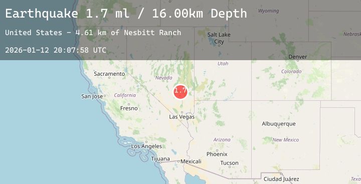
A 1.7 magnitude earthquake struck on 4 km W of Hiko, Nevada, at Mon, 12 Jan 2026 20:07:58 GMT. Depth: 15.9974km. Reviewed by USGS seismologists, this minor quake occurred at a magnitude type of ml.
Magnitude
1.7
ml
Source
USGS
Intensity
-
Agency Reports
1 Sources| Source | Magnitude | Depth | Time |
|---|---|---|---|
| USGSPrimary | 1.7 | 16 km | 5 hours ago |
Earthquake Details
AutomaticEvent IDusgs_nn00909458
Tsunami PotentialNo
Magnitude Typeml
Nearest Places
- Nesbitt Ranch4.6 km
- Hiko Post Office4.7 km
- Hiko4.7 km
- Hiko Mill (historical)4.7 km
- Logan Creek5.0 km
Comments
Join the discussion about this event.
Latest Earthquakes
1.9Mag
51 km WNW of Toyah, Texas
Time3 hours ago
Depth0.00 km
SourceUSGS (Automatic)
0.7Mag
3 km NW of The Geysers, CA
Time3 hours ago
Depth3.53 km
SourceUSGS (Automatic)
1.9Mag
4 km ESE of Mossyrock, Washington
Time3 hours ago
Depth19.28 km
SourceUSGS (Automatic)
3.0Mag
NEAR WEST COAST OF HONSHU, JAPAN
Time3 hours ago
Depth10.00 km
SourceJMA (Automatic)
3.0Mag
ANTOFAGASTA, CHILE
Time3 hours ago
Depth120.60 km
SourceCSN (Automatic)