Earthquake WESTERN AUSTRALIA
Tue, 13 Jan 2026 02:35:17 GMT
Time1 hour ago
Location
-30.7600, 121.4800
Depth
10.0 KM
Event Summary
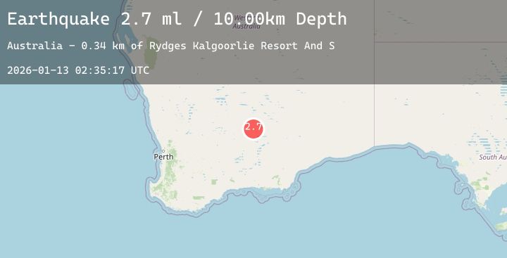
A 2.7 magnitude earthquake struck on WESTERN AUSTRALIA, at Tue, 13 Jan 2026 02:35:17 GMT. Depth: 10km. Reviewed by AUST seismologists, this minor quake occurred at a magnitude type of ml.
Magnitude
2.7
ml
Source
AUST
Intensity
-
Agency Reports
1 Sources| Source | Magnitude | Depth | Time |
|---|---|---|---|
| AUSTPrimary | 2.7 | 10 km | 1 hour ago |
Earthquake Details
AutomaticEvent IDemsc_20260113_0000042
Tsunami PotentialNo
Magnitude Typeml
Nearest Places
- Rydges Kalgoorlie Resort And S0.3 km
- Broadwater Resort0.3 km
- South Kalgoorlie Primary School0.4 km
- Golden Mile0.8 km
- South Kalgoorlie0.8 km
Comments
Join the discussion about this event.
Latest Earthquakes
2.0Mag
WESTERN TEXAS
Time1 hour ago
Depth4.10 km
SourceTX (Automatic)
3.3Mag
Minahassa Peninsula, Sulawesi
Time1 hour ago
Depth174.73 km
SourceBMKG (Automatic)
2.3Mag
64 km W of Nanwalek, Alaska
Time2 hours ago
Depth82.80 km
SourceUSGS (Automatic)
3.5Mag
TARAPACA, CHILE
Time2 hours ago
Depth108.70 km
SourceCSN (Automatic)
2.9Mag
OFFSHORE MAULE, CHILE
Time2 hours ago
Depth5.50 km
SourceCSN (Automatic)
Nearby Earthquakes
No significant earthquakes nearby recently.