Earthquake 64 km W of Nanwalek, Alaska
Tue, 13 Jan 2026 02:18:27 GMT
Time1 hour ago
Location
59.3240, -153.0540
Depth
82.8 KM
Event Summary
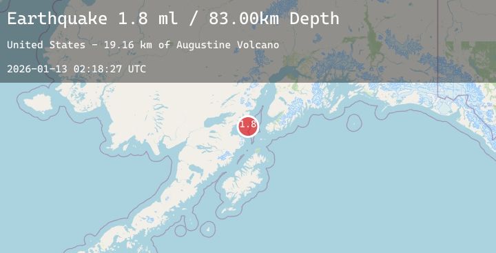
A 2.3 magnitude earthquake struck on 64 km W of Nanwalek, Alaska, at Tue, 13 Jan 2026 02:18:27 GMT. Depth: 82.8km. Reviewed by USGS seismologists, this minor quake occurred at a magnitude type of ml.
Magnitude
2.3
ml
Source
USGS
Intensity
-
Agency Reports
1 Sources| Source | Magnitude | Depth | Time |
|---|---|---|---|
| USGSPrimary | 2.3 | 83 km | 1 hour ago |
Earthquake Details
AutomaticEvent IDusgs_ak2026awfhvz
Tsunami PotentialNo
Magnitude Typeml
Nearest Places
- Cook Inlet16.7 km
- Augustine Rocks21.4 km
- Augustine Volcano21.9 km
- Augustine Island22.7 km
- Burr Point23.6 km
Comments
Join the discussion about this event.
Latest Earthquakes
1.8Mag
24 km NNW of Sutton-Alpine, Alaska
Time4 minutes ago
Depth19.50 km
SourceUSGS (Automatic)
4.0Mag
Talaud Islands, Indonesia
Time20 minutes ago
Depth38.78 km
SourceBMKG (Automatic)
2.1Mag
WESTERN TURKEY
Time23 minutes ago
Depth7.00 km
SourceAFAD (Automatic)
1.8Mag
69 km ENE of Pedro Bay, Alaska
Time30 minutes ago
Depth123.80 km
SourceUSGS (Automatic)
2.8Mag
OFFSHORE MAULE, CHILE
Time30 minutes ago
Depth30.00 km
SourceCSN (Automatic)
Nearby Earthquakes
1.8Mag
69 km ENE of Pedro Bay, Alaska
Time30 minutes ago
Depth123.80 km
SourceUSGS (Automatic)
1.6Mag
59 km SE of Pedro Bay, Alaska
Time6 hours ago
Depth5.00 km
SourceUSGS (Automatic)
2.3Mag
16 km SSW of Nanwalek, Alaska
Time15 hours ago
Depth64.60 km
SourceUSGS (Automatic)
2.1Mag
68 km NNW of Aleneva, Alaska
Time18 hours ago
Depth79.70 km
SourceUSGS (Automatic)
1.5Mag
53 km W of Happy Valley, Alaska
Time19 hours ago
Depth96.80 km
SourceUSGS (Automatic)