Earthquake NEAR N COAST OF PAPUA, INDONESIA
Tue, 13 Jan 2026 10:45:30 GMT
Time1 day ago
Location
-2.7100, 140.6100
Depth
10.0 KM
Event Summary
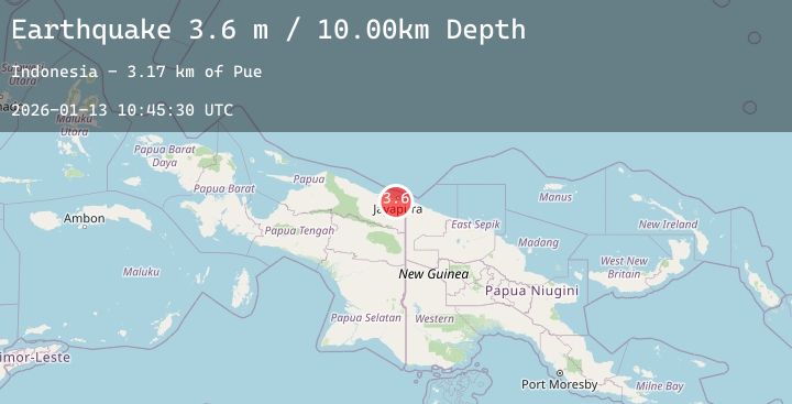
A 3.6 magnitude earthquake struck on NEAR N COAST OF PAPUA, INDONESIA, at Tue, 13 Jan 2026 10:45:30 GMT. Depth: 10km. Reviewed by BMKG seismologists, this minor quake occurred at a magnitude type of m.
Magnitude
3.6
m
Source
BMKG
Intensity
-
Agency Reports
1 Sources| Source | Magnitude | Depth | Time |
|---|---|---|---|
| BMKGPrimary | 3.6 | 10 km | 1 day ago |
Earthquake Details
AutomaticEvent IDemsc_20260113_0000147
Tsunami PotentialNo
Magnitude Typem
Nearest Places
- Pue3.2 km
- Kampung Yokiwa3.4 km
- Kampung Puai3.6 km
- Kampung Alang-Alang Raya4.1 km
- Kelurahan Asano6.3 km
Comments
Join the discussion about this event.
Latest Earthquakes
5.7Mag
Arafura Sea
Time1 day ago
Depth166.16 km
SourceBMKG (Automatic)
2.3Mag
AZORES ISLANDS, PORTUGAL
Time1 day ago
Depth0.00 km
SourcePDA (Automatic)
4.3Mag
Banda Sea
Time1 day ago
Depth362.84 km
SourceBMKG (Automatic)
2.2Mag
Sumba Region, Indonesia
Time1 day ago
Depth64.62 km
SourceBMKG (Automatic)
4.6Mag
NORTH ISLAND OF NEW ZEALAND
Time1 day ago
Depth14.60 km
SourceEMSC (Automatic)