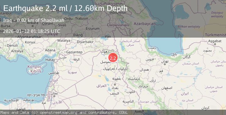
Earthquake IRAN-IRAQ BORDER REGION
Mon, 12 Jan 2026 01:18:25 GMT
Time1 month ago
Location
36.4403, 44.1589
Depth
12.6 KM
Event Summary
A 2.2 magnitude earthquake struck on IRAN-IRAQ BORDER REGION, at Mon, 12 Jan 2026 01:18:25 GMT. Depth: 12.6km. Reviewed by AFAD seismologists, this minor quake occurred at a magnitude type of ml.
Magnitude
2.2
ml
Source
AFAD
Intensity
-
Agency Reports
1 Sources| Source | Magnitude | Depth | Time |
|---|---|---|---|
| AFADPrimary | 2.2 | 13 km | 1 month ago |
Earthquake Details
AutomaticEvent IDemsc_AFAD_20260112_0000028
Tsunami PotentialNo
Magnitude Typeml
Nearest Places
- Ziyaret0.5 km
- Shaykh Ḩimūndiyān1.6 km
- Tall Khalīlūk2.0 km
- Wādī Ashkā2.3 km
- Ashgā2.7 km
Comments
Join the discussion about this event.
Latest Earthquakes
2.1Mag
Central Alaska
Time4 minutes ago
Depth117.07 km
SourceVYT (Automatic)
3.6Mag
Banda Sea
Time7 minutes ago
Depth116.58 km
SourceVYT (Automatic)
3.2Mag
south of Sumbawa, Indonesia
Time7 minutes ago
Depth10.00 km
SourceVYT (Automatic)
2.0Mag
near the coast of Tarapaca, Chile
Time9 minutes ago
Depth82.15 km
SourceVYT (Automatic)
1.5Mag
SWITZERLAND
Time13 minutes ago
Depth0.00 km
SourceETHZ (Automatic)
Nearby Earthquakes
3.0Mag
IRAN-IRAQ BORDER REGION
Time13 years ago
Depth5.00 km
SourceISK (Automatic)
3.0Mag
IRAQ
Time14 years ago
Depth2.00 km
SourceEMSC (Automatic)
3.0Mag
IRAQ
Time16 years ago
Depth19.70 km
SourceEMSC (Automatic)
3.0Mag
IRAQ
Time9 years ago
Depth5.00 km
SourceISK (Automatic)
3.0Mag
IRAQ
Time12 years ago
Depth2.00 km
SourceISN (Automatic)