Earthquake south of Sumbawa, Indonesia
Fri, 20 Feb 2026 16:04:33 GMT
Time1 hour ago
Location
-10.1552, 116.9974
Depth
10.0 KM
Event Summary
A 3.2 magnitude earthquake struck on south of Sumbawa, Indonesia, at Fri, 20 Feb 2026 16:04:33 GMT. Depth: 10km. Reviewed by VYT seismologists, this minor quake occurred at a magnitude type of earthquake.
Magnitude
3.2
earthquake
Source
VYT
Intensity
-
Agency Reports
1 Sources| Source | Magnitude | Depth | Time |
|---|---|---|---|
| VYTPrimary | 3.2 | 10 km | 1 hour ago |
Earthquake Details
AutomaticEvent IDvyt_2ifxfzpij23yq
Tsunami PotentialNo
Magnitude Typeearthquake
Nearest Places
- Lombok Basin114.9 km
- Tanjung Talonan115.5 km
- Tanu Tanjunglilin116.9 km
- Tanjung Moneh117.5 km
- Batu Lawang118.5 km
Comments
Join the discussion about this event.
Latest Earthquakes
2.0Mag
near the coast of Tarapaca, Chile
Time1 hour ago
Depth82.15 km
SourceVYT (Automatic)
1.5Mag
SWITZERLAND
Time1 hour ago
Depth0.00 km
SourceETHZ (Automatic)
2.2Mag
Antofagasta, Chile
Time1 hour ago
Depth117.68 km
SourceVYT (Automatic)
2.5Mag
Java, Indonesia
Time1 hour ago
Depth30.02 km
SourceBMKG
3.4Mag
West Papua Region, Indonesia
Time1 hour ago
Depth10.00 km
SourceBMKG
Nearby Earthquakes
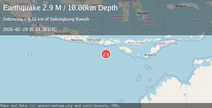
2.9Mag
SOUTH OF SUMBAWA, INDONESIA
Time1 month ago
Depth14.00 km
SourceBMKG (Automatic)
5.4Mag
SOUTH OF SUMBAWA, INDONESIA
Time18 years ago
Depth40.00 km
SourceEMSC (Automatic)
5.4Mag
SOUTH OF LOMBOK, INDONESIA
Time4 years ago
Depth23.00 km
SourceEMSC (Automatic)
5.4Mag
SOUTH OF SUMBAWA, INDONESIA
Time4 years ago
Depth10.00 km
SourceEMSC (Automatic)
3.0Mag
LOMBOK REGION, INDONESIA
Time5 years ago
Depth13.00 km
SourceDJA (Automatic)