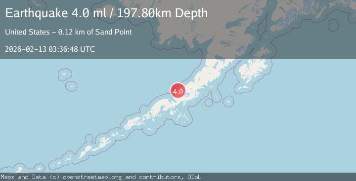
Earthquake ALASKA PENINSULA
Fri, 13 Feb 2026 03:36:48 GMT
Time5 days ago
Location
56.3660, -160.1040
Depth
197.8 KM
Event Summary
A 4.0 magnitude earthquake struck on ALASKA PENINSULA, at Fri, 13 Feb 2026 03:36:48 GMT. Depth: 197.8km. Reviewed by AK seismologists, this light quake occurred at a magnitude type of ml.
Magnitude
4.0
ml
Source
AK
Intensity
-
Agency Reports
2 Sources| Source | Magnitude | Depth | Time |
|---|---|---|---|
| AKPrimary | 4.0 | 198 km | 5 days ago |
| USGS | 4.0 | 198 km | 5 days ago |
Earthquake Details
AutomaticEvent IDemsc_AK_20260213_0000052
Tsunami PotentialNo
Magnitude Typeml
Nearest Places
- Cape Seniavin4.6 km
- Muddy River5.5 km
- Cape Kutuzof14.2 km
- Sandy River16.4 km
- Sandy River Airport17.3 km
Comments
Join the discussion about this event.
Latest Earthquakes
1.2Mag
Southern Alaska
Time8 minutes ago
Depth37.11 km
SourceVYT (Automatic)
3.0Mag
Seram, Indonesia
Time8 minutes ago
Depth12.36 km
SourceBMKG
1.1Mag
Washington
Time12 minutes ago
Depth9.64 km
SourceVYT (Automatic)
1.3Mag
WESTERN TURKEY
Time12 minutes ago
Depth8.60 km
SourceAFAD (Automatic)
1.9Mag
32 km NW of Toyah, Texas
Time14 minutes ago
Depth4.09 km
SourceUSGS (Automatic)
Nearby Earthquakes
3.0Mag
ALASKA PENINSULA
Time6 years ago
Depth152.00 km
SourceNEIR (Automatic)
3.5Mag
ALASKA PENINSULA
Time2 days ago
Depth168.00 km
SourceAK (Automatic)
3.0Mag
ALASKA PENINSULA
Time2 years ago
Depth160.00 km
SourceNEIC (Automatic)
3.0Mag
ALASKA PENINSULA
Time8 years ago
Depth160.00 km
SourceNEIR (Automatic)
1.3Mag
14 km N of Ivanof Bay, Alaska
Time1 day ago
Depth5.00 km
SourceUSGS (Automatic)