Earthquake NEAR EAST COAST OF AUSTRALIA
Fri, 23 Jan 2026 10:46:58 GMT
Time4 days ago
Location
-29.3100, 154.1400
Depth
10.0 KM
Event Summary
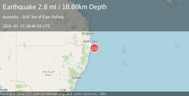
A 2.8 magnitude earthquake struck on NEAR EAST COAST OF AUSTRALIA, at Fri, 23 Jan 2026 10:46:58 GMT. Depth: 10km. Reviewed by AUST seismologists, this minor quake occurred at a magnitude type of ml.
Magnitude
2.8
ml
Source
AUST
Intensity
-
Agency Reports
1 Sources| Source | Magnitude | Depth | Time |
|---|---|---|---|
| AUSTPrimary | 2.8 | 10 km | 4 days ago |
Earthquake Details
AutomaticEvent IDemsc_AUST_20260123_0000171
Tsunami PotentialNo
Magnitude Typeml
Nearest Places
- North Evans Reef67.2 km
- Evans Head69.0 km
- New Zealand Beach69.7 km
- South Evans Reef69.9 km
- Chinamens Beach70.0 km
Comments
Join the discussion about this event.
Latest Earthquakes
3.7Mag
VALPARAISO, CHILE
Time6 minutes ago
Depth27.60 km
SourceCSN (Automatic)
2.0Mag
CENTRAL TURKEY
Time9 minutes ago
Depth23.50 km
SourceKOERI (Automatic)
3.2Mag
OFFSHORE EL SALVADOR
Time10 minutes ago
Depth28.00 km
SourceINET (Automatic)
3.1Mag
South of Java, Indonesia
Time11 minutes ago
Depth5.01 km
SourceBMKG (Automatic)
2.2Mag
Near North Coast of West Papua
Time13 minutes ago
Depth10.00 km
SourceBMKG (Automatic)