Earthquake Near North Coast of West Papua
Tue, 27 Jan 2026 12:13:51 GMT
Time1 hour ago
Location
-2.3351, 140.5079
Depth
10.0 KM
Event Summary
A 2.1 magnitude earthquake struck on Near North Coast of West Papua, at Tue, 27 Jan 2026 12:13:51 GMT. Depth: 10km. Reviewed by BMKG seismologists, this minor quake occurred at a magnitude type of M.
Magnitude
2.1
M
Source
BMKG
Intensity
-
Agency Reports
1 Sources| Source | Magnitude | Depth | Time |
|---|---|---|---|
| BMKGPrimary | 2.1 | 10 km | 1 hour ago |
Earthquake Details
AutomaticEvent IDbmg2026bwlh
Tsunami PotentialNo
Magnitude TypeM
Nearest Places
- Sapari12.0 km
- Doromena12.3 km
- Teluk Torare12.3 km
- Jafase13.6 km
- Wari13.8 km
Comments
Join the discussion about this event.
Latest Earthquakes
1.6Mag
4 km SE of Julian, CA
Time2 hours ago
Depth10.57 km
SourceUSGS (Automatic)
3.4Mag
BIO-BIO, CHILE
Time2 hours ago
Depth17.50 km
SourceCSN (Automatic)
2.7Mag
FRANCE
Time2 hours ago
Depth5.00 km
SourceReNaSS (Automatic)
3.0Mag
South of Bali, Indonesia
Time2 hours ago
Depth21.74 km
SourceBMKG (Automatic)
3.6Mag
EASTERN TURKEY
Time2 hours ago
Depth0.00 km
SourceKOERI (Automatic)
Nearby Earthquakes
2.8Mag
Near North Coast of West Papua
Time4 days ago
Depth10.00 km
SourceBMKG (Automatic)
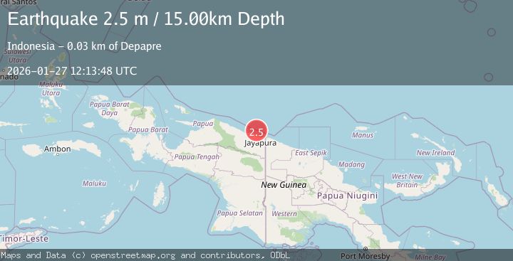
2.5Mag
Near North Coast of West Papua
Time1 day ago
Depth10.00 km
SourceBMKG (Automatic)
2.8Mag
Near North Coast of West Papua
Time2 days ago
Depth12.25 km
SourceBMKG (Automatic)
2.1Mag
Near North Coast of West Papua
Time1 day ago
Depth10.56 km
SourceBMKG (Automatic)
2.6Mag
Near North Coast of West Papua
Time6 days ago
Depth10.00 km
SourceBMKG (Automatic)