Earthquake WESTERN AUSTRALIA
Sat, 07 Feb 2026 11:00:51 GMT
Time2 weeks ago
Location
-16.0200, 124.6900
Depth
10.0 KM
Event Summary
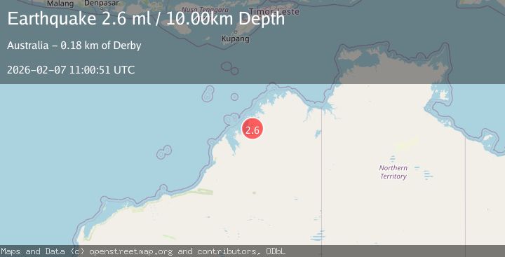
A 2.6 magnitude earthquake struck on WESTERN AUSTRALIA, at Sat, 07 Feb 2026 11:00:51 GMT. Depth: 10km. Reviewed by AUST seismologists, this minor quake occurred at a magnitude type of ml.
Magnitude
2.6
ml
Source
AUST
Intensity
-
Agency Reports
1 Sources| Source | Magnitude | Depth | Time |
|---|---|---|---|
| AUSTPrimary | 2.6 | 10 km | 2 weeks ago |
Earthquake Details
AutomaticEvent IDemsc_AUST_20260207_0000351
Tsunami PotentialNo
Magnitude Typeml
Nearest Places
- 11.3 km
- 14.3 km
- 15.6 km
- 15.9 km
- 16.8 km
Comments
Join the discussion about this event.
Latest Earthquakes
1.1Mag
10 km WSW of Pine Valley, CA
Time6 minutes ago
Depth17.73 km
SourceUSGS (Automatic)
1.8Mag
19 km SSE of Pāhala, Hawaii
Time9 minutes ago
Depth33.18 km
SourceUSGS (Automatic)
2.9Mag
Catamarca, Argentina
Time10 minutes ago
Depth226.93 km
SourceVYT (Automatic)
4.2Mag
Java, Indonesia
Time13 minutes ago
Depth12.70 km
SourceVYT (Automatic)
3.7Mag
northern Sumatra, Indonesia
Time21 minutes ago
Depth25.51 km
SourceVYT (Automatic)
Nearby Earthquakes
3.0Mag
WESTERN AUSTRALIA
Time8 years ago
Depth10.00 km
SourceAUST (Automatic)
3.0Mag
WESTERN AUSTRALIA
Time1 year ago
Depth10.00 km
SourceAUST (Automatic)
3.0Mag
WESTERN AUSTRALIA
Time7 years ago
Depth10.00 km
SourceAUST (Automatic)
3.1Mag
NORTHWEST OF AUSTRALIA
Time2 weeks ago
Depth10.00 km
SourceAUST (Automatic)
3.0Mag
WESTERN AUSTRALIA
Time2 years ago
Depth8.00 km
SourceAUST (Automatic)