Earthquake WESTERN AUSTRALIA
Fri, 13 Feb 2026 04:59:15 GMT
Time1 week ago
Location
-33.7600, 118.0200
Depth
5.0 KM
Event Summary
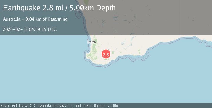
A 2.8 magnitude earthquake struck on WESTERN AUSTRALIA, at Fri, 13 Feb 2026 04:59:15 GMT. Depth: 5km. Reviewed by AUST seismologists, this minor quake occurred at a magnitude type of ml.
Magnitude
2.8
ml
Source
AUST
Intensity
-
Agency Reports
1 Sources| Source | Magnitude | Depth | Time |
|---|---|---|---|
| AUSTPrimary | 2.8 | 5 km | 1 week ago |
Earthquake Details
AutomaticEvent IDemsc_AUST_20260213_0000067
Tsunami PotentialNo
Magnitude Typeml
Nearest Places
- 1.1 km
- 1.6 km
- 2.8 km
- 3.9 km
- 3.9 km
Comments
Join the discussion about this event.
Latest Earthquakes
2.5Mag
Java, Indonesia
Time5 minutes ago
Depth21.91 km
SourceBMKG
2.9Mag
Buru, Indonesia
Time12 minutes ago
Depth10.00 km
SourceBMKG
3.7Mag
Potosi, Bolivia
Time25 minutes ago
Depth240.11 km
SourceVYT (Automatic)
3.9Mag
Southern California
Time25 minutes ago
Depth1.22 km
SourceVYT (Automatic)
0.7Mag
2 km NW of The Geysers, CA
Time28 minutes ago
Depth3.63 km
SourceUSGS (Automatic)
Nearby Earthquakes
2.8Mag
WESTERN AUSTRALIA
Time1 week ago
Depth5.00 km
SourceAUST (Automatic)
2.7Mag
Western Australia
Time1 week ago
Depth0.00 km
SourceVYT (Automatic)
2.5Mag
WESTERN AUSTRALIA
Time1 week ago
Depth1.00 km
SourceAUST (Automatic)
2.3Mag
WESTERN AUSTRALIA
Time1 week ago
Depth1.00 km
SourceAUST (Automatic)
2.2Mag
WESTERN AUSTRALIA
Time1 week ago
Depth5.00 km
SourceAUST (Automatic)