Earthquake WESTERN AUSTRALIA
Sat, 14 Feb 2026 10:16:38 GMT
Time1 week ago
Location
-33.8100, 117.9400
Depth
1.0 KM
Event Summary
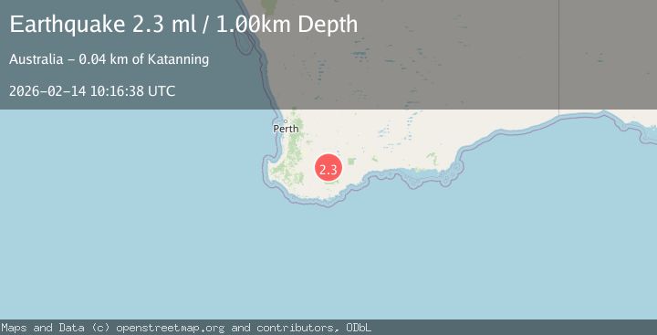
A 2.3 magnitude earthquake struck on WESTERN AUSTRALIA, at Sat, 14 Feb 2026 10:16:38 GMT. Depth: 1km. Reviewed by AUST seismologists, this minor quake occurred at a magnitude type of ml.
Magnitude
2.3
ml
Source
AUST
Intensity
-
Agency Reports
1 Sources| Source | Magnitude | Depth | Time |
|---|---|---|---|
| AUSTPrimary | 2.3 | 1 km | 1 week ago |
Earthquake Details
AutomaticEvent IDemsc_AUST_20260214_0000420
Tsunami PotentialNo
Magnitude Typeml
Nearest Places
- 1.4 km
- 2.5 km
- 2.5 km
- 4.3 km
- 4.6 km
Comments
Join the discussion about this event.
Latest Earthquakes
1.9Mag
Azerbaijan
Time3 minutes ago
Depth10.00 km
SourceVYT (Automatic)
3.7Mag
Tarapaca, Chile
Time7 minutes ago
Depth85.94 km
SourceVYT (Automatic)
3.4Mag
NEAR COAST OF NICARAGUA
Time20 minutes ago
Depth5.00 km
SourceINET (Automatic)
3.5Mag
Southern California
Time23 minutes ago
Depth2.81 km
SourceVYT (Automatic)
2.5Mag
ISLAND OF HAWAII, HAWAII
Time28 minutes ago
Depth31.50 km
SourceHV (Automatic)
Nearby Earthquakes
2.5Mag
WESTERN AUSTRALIA
Time1 week ago
Depth1.00 km
SourceAUST (Automatic)
2.1Mag
WESTERN AUSTRALIA
Time2 weeks ago
Depth5.00 km
SourceAUST (Automatic)
2.2Mag
WESTERN AUSTRALIA
Time1 week ago
Depth5.00 km
SourceAUST (Automatic)
2.8Mag
WESTERN AUSTRALIA
Time1 week ago
Depth1.00 km
SourceAUST (Automatic)
2.2Mag
WESTERN AUSTRALIA
Time1 day ago
Depth1.50 km
SourceAUST (Automatic)