Earthquake WESTERN AUSTRALIA
Sat, 14 Feb 2026 21:22:10 GMT
Time1 week ago
Location
-33.8000, 117.9300
Depth
1.0 KM
Event Summary
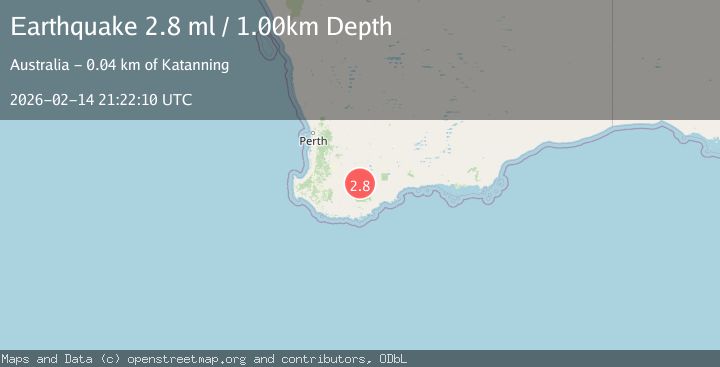
A 2.8 magnitude earthquake struck on WESTERN AUSTRALIA, at Sat, 14 Feb 2026 21:22:10 GMT. Depth: 1km. Reviewed by AUST seismologists, this minor quake occurred at a magnitude type of ml.
Magnitude
2.8
ml
Source
AUST
Intensity
-
Agency Reports
1 Sources| Source | Magnitude | Depth | Time |
|---|---|---|---|
| AUSTPrimary | 2.8 | 1 km | 1 week ago |
Earthquake Details
AutomaticEvent IDemsc_AUST_20260214_0000371
Tsunami PotentialNo
Magnitude Typeml
Nearest Places
- 1.1 km
- 3.2 km
- 3.6 km
- 3.7 km
- 4.0 km
Comments
Join the discussion about this event.
Latest Earthquakes
1.9Mag
New Mexico
Time5 minutes ago
Depth2.32 km
SourceVYT (Automatic)
0.8Mag
11 km N of Borrego Springs, CA
Time9 minutes ago
Depth11.52 km
SourceUSGS (Automatic)
0.9Mag
20 km NNW of San Simeon, CA
Time10 minutes ago
Depth3.48 km
SourceUSGS (Automatic)
3.7Mag
San Juan, Argentina
Time11 minutes ago
Depth144.41 km
SourceVYT (Automatic)
2.7Mag
PUERTO RICO REGION
Time19 minutes ago
Depth27.30 km
SourceNEIC (Automatic)
Nearby Earthquakes
2.5Mag
WESTERN AUSTRALIA
Time1 week ago
Depth1.00 km
SourceAUST (Automatic)
2.3Mag
WESTERN AUSTRALIA
Time1 week ago
Depth1.00 km
SourceAUST (Automatic)
2.2Mag
WESTERN AUSTRALIA
Time1 day ago
Depth1.50 km
SourceAUST (Automatic)
2.7Mag
WESTERN AUSTRALIA
Time3 days ago
Depth1.00 km
SourceAUST (Automatic)
2.1Mag
WESTERN AUSTRALIA
Time2 weeks ago
Depth5.00 km
SourceAUST (Automatic)