Earthquake WESTERN AUSTRALIA
Sat, 14 Feb 2026 19:08:55 GMT
Time1 week ago
Location
-33.8400, 117.9300
Depth
5.0 KM
Event Summary
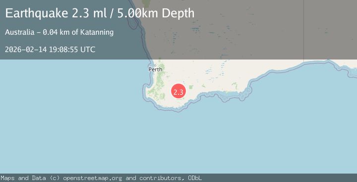
A 2.3 magnitude earthquake struck on WESTERN AUSTRALIA, at Sat, 14 Feb 2026 19:08:55 GMT. Depth: 5km. Reviewed by AUST seismologists, this minor quake occurred at a magnitude type of ml.
Magnitude
2.3
ml
Source
AUST
Intensity
-
Agency Reports
1 Sources| Source | Magnitude | Depth | Time |
|---|---|---|---|
| AUSTPrimary | 2.3 | 5 km | 1 week ago |
Earthquake Details
AutomaticEvent IDemsc_AUST_20260214_0000419
Tsunami PotentialNo
Magnitude Typeml
Nearest Places
- 1.3 km
- 1.4 km
- 2.3 km
- 3.5 km
- 3.6 km
Comments
Join the discussion about this event.
Latest Earthquakes
2.7Mag
Tarapaca, Chile
Time1 minute ago
Depth109.01 km
SourceVYT (Automatic)
2.7Mag
Fox Islands, Aleutian Islands, Alaska
Time3 minutes ago
Depth0.00 km
SourceVYT (Automatic)
3.3Mag
Fox Islands, Aleutian Islands, Alaska
Time6 minutes ago
Depth0.61 km
SourceVYT (Automatic)
1.7Mag
19 km SSE of Pāhala, Hawaii
Time9 minutes ago
Depth33.51 km
SourceUSGS (Automatic)
2.3Mag
Tarapaca, Chile
Time9 minutes ago
Depth65.31 km
SourceVYT (Automatic)
Nearby Earthquakes
2.2Mag
WESTERN AUSTRALIA
Time1 week ago
Depth5.00 km
SourceAUST (Automatic)
2.3Mag
WESTERN AUSTRALIA
Time6 days ago
Depth5.00 km
SourceAUST (Automatic)
2.2Mag
WESTERN AUSTRALIA
Time2 days ago
Depth5.00 km
SourceAUST (Automatic)
2.2Mag
WESTERN AUSTRALIA
Time1 week ago
Depth5.00 km
SourceAUST (Automatic)
2.0Mag
WESTERN AUSTRALIA
Time1 week ago
Depth5.00 km
SourceAUST (Automatic)