Earthquake WESTERN AUSTRALIA
Tue, 17 Feb 2026 02:58:59 GMT
Time6 days ago
Location
-33.8400, 117.9300
Depth
5.0 KM
Event Summary
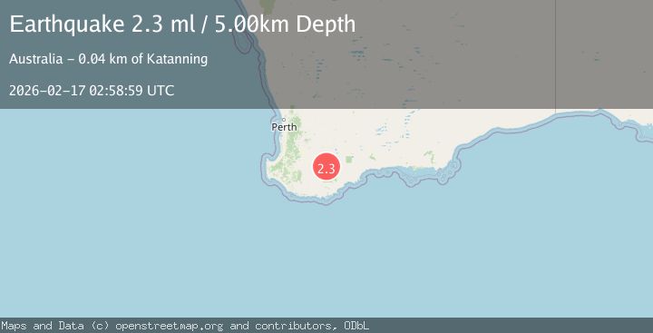
A 2.3 magnitude earthquake struck on WESTERN AUSTRALIA, at Tue, 17 Feb 2026 02:58:59 GMT. Depth: 5km. Reviewed by AUST seismologists, this minor quake occurred at a magnitude type of ml.
Magnitude
2.3
ml
Source
AUST
Intensity
-
Agency Reports
1 Sources| Source | Magnitude | Depth | Time |
|---|---|---|---|
| AUSTPrimary | 2.3 | 5 km | 6 days ago |
Earthquake Details
AutomaticEvent IDemsc_AUST_20260217_0000312
Tsunami PotentialNo
Magnitude Typeml
Nearest Places
- 1.3 km
- 1.4 km
- 2.3 km
- 3.5 km
- 3.6 km
Comments
Join the discussion about this event.
Latest Earthquakes
2.7Mag
Minahasa, Sulawesi, Indonesia
Time2 minutes ago
Depth119.87 km
SourceVYT (Automatic)
3.1Mag
Fox Islands, Aleutian Islands, Alaska
Time3 minutes ago
Depth0.00 km
SourceVYT (Automatic)
2.0Mag
Kenai Peninsula, Alaska
Time8 minutes ago
Depth63.60 km
SourceVYT (Automatic)
2.1Mag
FRANCE
Time10 minutes ago
Depth5.00 km
SourceReNaSS (Automatic)
2.9Mag
New Mexico
Time16 minutes ago
Depth0.00 km
SourceVYT (Automatic)
Nearby Earthquakes
2.3Mag
WESTERN AUSTRALIA
Time1 week ago
Depth5.00 km
SourceAUST (Automatic)
2.2Mag
WESTERN AUSTRALIA
Time1 week ago
Depth5.00 km
SourceAUST (Automatic)
2.2Mag
WESTERN AUSTRALIA
Time2 days ago
Depth5.00 km
SourceAUST (Automatic)
2.2Mag
WESTERN AUSTRALIA
Time1 week ago
Depth5.00 km
SourceAUST (Automatic)
2.0Mag
WESTERN AUSTRALIA
Time1 week ago
Depth5.00 km
SourceAUST (Automatic)