Earthquake WESTERN AUSTRALIA
Tue, 17 Feb 2026 01:28:01 GMT
Time6 days ago
Location
-33.8200, 117.9200
Depth
5.0 KM
Event Summary
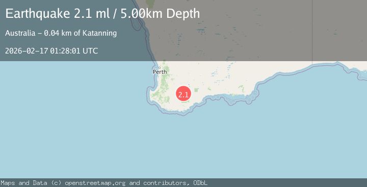
A 2.1 magnitude earthquake struck on WESTERN AUSTRALIA, at Tue, 17 Feb 2026 01:28:01 GMT. Depth: 5km. Reviewed by AUST seismologists, this minor quake occurred at a magnitude type of ml.
Magnitude
2.1
ml
Source
AUST
Intensity
-
Agency Reports
1 Sources| Source | Magnitude | Depth | Time |
|---|---|---|---|
| AUSTPrimary | 2.1 | 5 km | 6 days ago |
Earthquake Details
AutomaticEvent IDemsc_AUST_20260217_0000051
Tsunami PotentialNo
Magnitude Typeml
Nearest Places
- 1.3 km
- 2.3 km
- 3.2 km
- 3.8 km
- 4.4 km
Comments
Join the discussion about this event.
Latest Earthquakes
1.5Mag
Southern Alaska
Time22 hours ago
Depth0.00 km
SourceVYT (Automatic)
1.8Mag
49 km NW of Toyah, Texas
Time22 hours ago
Depth4.22 km
SourceUSGS (Automatic)
2.4Mag
southern Peru
Time22 hours ago
Depth76.66 km
SourceVYT (Automatic)
2.6Mag
Dead Sea region
Time22 hours ago
Depth0.00 km
SourceVYT (Automatic)
2.2Mag
OKLAHOMA
Time22 hours ago
Depth3.00 km
SourceOK (Automatic)
Nearby Earthquakes
2.4Mag
WESTERN AUSTRALIA
Time1 week ago
Depth2.00 km
SourceAUST (Automatic)
2.4Mag
WESTERN AUSTRALIA
Time1 week ago
Depth1.00 km
SourceAUST (Automatic)
2.4Mag
WESTERN AUSTRALIA
Time1 week ago
Depth1.00 km
SourceAUST (Automatic)
2.1Mag
WESTERN AUSTRALIA
Time1 week ago
Depth5.00 km
SourceAUST (Automatic)
2.2Mag
WESTERN AUSTRALIA
Time1 week ago
Depth5.00 km
SourceAUST (Automatic)