Earthquake WESTERN AUSTRALIA
Sat, 07 Feb 2026 03:53:51 GMT
Time1 hour ago
Location
-29.2800, 124.0100
Depth
12.0 KM
Event Summary
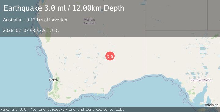
A 3.0 magnitude earthquake struck on WESTERN AUSTRALIA, at Sat, 07 Feb 2026 03:53:51 GMT. Depth: 12km. Reviewed by AUST seismologists, this minor quake occurred at a magnitude type of ml.
Magnitude
3.0
ml
Source
AUST
Intensity
-
Agency Reports
1 Sources| Source | Magnitude | Depth | Time |
|---|---|---|---|
| AUSTPrimary | 3.0 | 12 km | 1 hour ago |
Earthquake Details
AutomaticEvent IDemsc_AUST_20260207_0000056
Tsunami PotentialNo
Magnitude Typeml
Nearest Places
- Menzies30.8 km
- Lindsay Hill48.1 km
- Narra Spring52.5 km
- South Extension Bore53.2 km
- Bungarra Point54.6 km
Comments
Join the discussion about this event.
Latest Earthquakes
0.8Mag
5 km E of Badger, Alaska
Time2 minutes ago
Depth18.30 km
SourceUSGS (Automatic)
2.4Mag
Timor Region
Time2 minutes ago
Depth47.37 km
SourceBMKG (Automatic)
2.6Mag
PUERTO RICO REGION
Time15 minutes ago
Depth9.50 km
SourcePR (Automatic)
2.4Mag
Sumba Region, Indonesia
Time17 minutes ago
Depth57.80 km
SourceBMKG (Automatic)
2.6Mag
ANTOFAGASTA, CHILE
Time17 minutes ago
Depth130.80 km
SourceCSN (Automatic)
Nearby Earthquakes
2.9Mag
WESTERN AUSTRALIA
Time5 days ago
Depth5.00 km
SourceAUST (Automatic)
2.6Mag
WESTERN AUSTRALIA
Time1 week ago
Depth10.00 km
SourceAUST (Automatic)
3.0Mag
WESTERN AUSTRALIA
Time2 days ago
Depth10.00 km
SourceAUST (Automatic)
2.6Mag
WESTERN AUSTRALIA
Time1 day ago
Depth5.00 km
SourceAUST (Automatic)
2.2Mag
WESTERN AUSTRALIA
Time2 days ago
Depth5.00 km
SourceAUST (Automatic)