Earthquake WESTERN AUSTRALIA
Mon, 23 Feb 2026 18:17:30 GMT
Time6 days ago
Location
-33.8359, 117.9184
Depth
5.0 KM
Event Summary
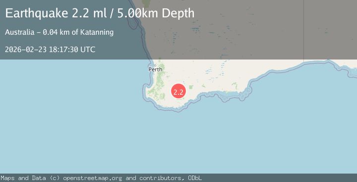
A 2.2 magnitude earthquake struck on WESTERN AUSTRALIA, at Mon, 23 Feb 2026 18:17:30 GMT. Depth: 5km. Reviewed by AUST seismologists, this minor quake occurred at a magnitude type of ml.
Magnitude
2.2
ml
Source
AUST
Intensity
-
Agency Reports
1 Sources| Source | Magnitude | Depth | Time |
|---|---|---|---|
| AUSTPrimary | 2.2 | 5 km | 6 days ago |
Earthquake Details
AutomaticEvent IDemsc_AUST_20260223_0000382
Tsunami PotentialNo
Magnitude Typeml
Nearest Places
- 2.0 km
- 2.4 km
- 3.1 km
- 3.2 km
- 3.4 km
Comments
Join the discussion about this event.
Latest Earthquakes
2.2Mag
Minahassa Peninsula, Sulawesi
Time15 minutes ago
Depth7.44 km
SourceBMKG
3.4Mag
Alaska Peninsula
Time15 minutes ago
Depth0.85 km
SourceVYT (Automatic)
1.6Mag
Southern California
Time21 minutes ago
Depth14.77 km
SourceVYT (Automatic)
1.4Mag
western Texas
Time25 minutes ago
Depth12.57 km
SourceVYT (Automatic)
1.4Mag
Southern Alaska
Time26 minutes ago
Depth146.00 km
SourceVYT (Automatic)
Nearby Earthquakes
2.0Mag
WESTERN AUSTRALIA
Time1 week ago
Depth5.00 km
SourceAUST (Automatic)
2.1Mag
WESTERN AUSTRALIA
Time1 week ago
Depth5.00 km
SourceAUST (Automatic)
2.0Mag
WESTERN AUSTRALIA
Time4 days ago
Depth5.00 km
SourceAUST (Automatic)
2.0Mag
WESTERN AUSTRALIA
Time6 days ago
Depth5.00 km
SourceAUST (Automatic)
3.5Mag
Western Australia
Time6 days ago
Depth0.00 km
SourceVYT (Automatic)