Earthquake WESTERN AUSTRALIA
Mon, 23 Feb 2026 10:10:27 GMT
Time6 days ago
Location
-33.8309, 117.9221
Depth
5.0 KM
Event Summary
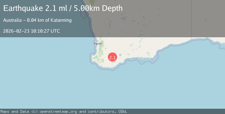
A 2.1 magnitude earthquake struck on WESTERN AUSTRALIA, at Mon, 23 Feb 2026 10:10:27 GMT. Depth: 5km. Reviewed by AUST seismologists, this minor quake occurred at a magnitude type of ml.
Magnitude
2.1
ml
Source
AUST
Intensity
-
Agency Reports
1 Sources| Source | Magnitude | Depth | Time |
|---|---|---|---|
| AUSTPrimary | 2.1 | 5 km | 6 days ago |
Earthquake Details
AutomaticEvent IDemsc_AUST_20260223_0000407
Tsunami PotentialNo
Magnitude Typeml
Nearest Places
- 1.6 km
- 2.5 km
- 2.6 km
- 2.8 km
- 3.9 km
Comments
Join the discussion about this event.
Latest Earthquakes
2.3Mag
South of Bali, Indonesia
Time17 hours ago
Depth43.71 km
SourceBMKG
1.6Mag
4 km W of Cobb, CA
Time17 hours ago
Depth2.20 km
SourceUSGS (Automatic)
1.6Mag
Southern Alaska
Time17 hours ago
Depth35.28 km
SourceVYT (Automatic)
2.3Mag
Flores Region, Indonesia
Time17 hours ago
Depth20.35 km
SourceBMKG
1.7Mag
79 km NE of Tonopah, Nevada
Time17 hours ago
Depth7.14 km
SourceUSGS (Automatic)
Nearby Earthquakes
2.0Mag
WESTERN AUSTRALIA
Time5 days ago
Depth5.00 km
SourceAUST (Automatic)
2.2Mag
WESTERN AUSTRALIA
Time3 weeks ago
Depth5.00 km
SourceAUST (Automatic)
2.0Mag
WESTERN AUSTRALIA
Time2 weeks ago
Depth5.00 km
SourceAUST (Automatic)
2.1Mag
WESTERN AUSTRALIA
Time2 weeks ago
Depth2.00 km
SourceAUST (Automatic)
2.2Mag
WESTERN AUSTRALIA
Time2 weeks ago
Depth5.00 km
SourceAUST (Automatic)