Earthquake MOLUCCA SEA
Fri, 02 Jan 2026 05:44:21 GMT
Time1 month ago
Location
-0.1600, 124.4100
Depth
12.0 KM
Event Summary
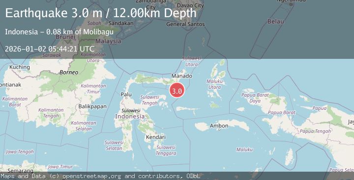
A 3.0 magnitude earthquake struck on MOLUCCA SEA, at Fri, 02 Jan 2026 05:44:21 GMT. Depth: 12km. Reviewed by BMKG seismologists, this minor quake occurred at a magnitude type of m.
Magnitude
3.0
m
Source
BMKG
Intensity
-
Agency Reports
1 Sources| Source | Magnitude | Depth | Time |
|---|---|---|---|
| BMKGPrimary | 3.0 | 12 km | 1 month ago |
Earthquake Details
AutomaticEvent IDemsc_BMKG_20260102_0000073
Tsunami PotentialNo
Magnitude Typem
Nearest Places
- Gorontalo Basin46.7 km
- Impodnya Tolu64.0 km
- Impoda Obayaw64.2 km
- Impoda Bulu64.4 km
- Impoda Lolak64.5 km
Comments
Join the discussion about this event.
Latest Earthquakes
2.8Mag
West Papua Region, Indonesia
Time1 hour ago
Depth34.12 km
SourceBMKG
3.6Mag
NORTHERN ALGERIA
Time1 hour ago
Depth5.80 km
SourceIGN (Automatic)
2.6Mag
Java, Indonesia
Time1 hour ago
Depth214.22 km
SourceBMKG
1.0Mag
Southeastern Alaska
Time1 hour ago
Depth0.00 km
SourceVYT (Automatic)
3.5Mag
COOK STRAIT, NEW ZEALAND
Time1 hour ago
Depth75.30 km
SourceGNS (Automatic)
Nearby Earthquakes
5.3Mag
MOLUCCA SEA
Time5 years ago
Depth36.00 km
SourceEMSC (Automatic)
4.0Mag
MOLUCCA SEA
Time3 years ago
Depth12.00 km
SourceDJA (Automatic)
5.1Mag
MOLUCCA SEA
Time10 years ago
Depth80.00 km
SourceEMSC (Automatic)
5.2Mag
MOLUCCA SEA
Time7 years ago
Depth68.00 km
SourceEMSC (Automatic)
4.0Mag
MOLUCCA SEA
Time4 years ago
Depth10.00 km
SourceDJA (Automatic)