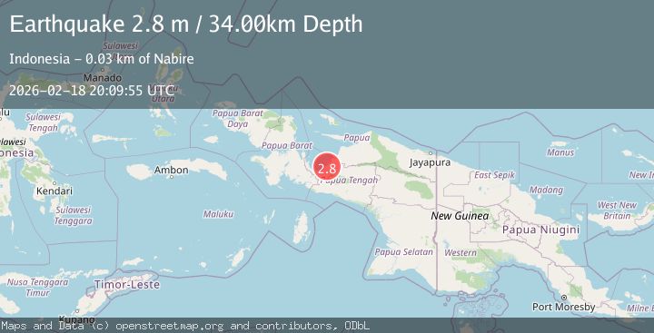
Earthquake West Papua Region, Indonesia
Wed, 18 Feb 2026 20:09:54 GMT
Time1 hour ago
Location
-3.2484, 135.6748
Depth
45.7 KM
Event Summary
A 2.7 magnitude earthquake struck on West Papua Region, Indonesia, at Wed, 18 Feb 2026 20:09:54 GMT. Depth: 45.676987km. Reviewed by BMKG seismologists, this minor quake occurred at a magnitude type of M.
Magnitude
2.7
M
Source
BMKG
Intensity
-
Agency Reports
1 Sources| Source | Magnitude | Depth | Time |
|---|---|---|---|
| BMKGPrimary | 2.7 | 46 km | 1 hour ago |
Earthquake Details
ManualEvent IDbmg2026dlgb
Tsunami PotentialNo
Magnitude TypeM
Nearest Places
- Kampung Samabusa3.8 km
- Kampung Biha5.1 km
- Kampung Air Mandidi7.9 km
- Distrik Teluk Kimi8.0 km
- Wamairo8.2 km
Comments
Join the discussion about this event.
Latest Earthquakes
2.6Mag
Java, Indonesia
Time1 hour ago
Depth214.22 km
SourceBMKG
1.0Mag
Southeastern Alaska
Time1 hour ago
Depth0.00 km
SourceVYT (Automatic)
3.5Mag
COOK STRAIT, NEW ZEALAND
Time1 hour ago
Depth75.30 km
SourceGNS (Automatic)
2.5Mag
Seram, Indonesia
Time1 hour ago
Depth21.28 km
SourceBMKG
2.6Mag
West Papua Region, Indonesia
Time1 hour ago
Depth17.35 km
SourceBMKG
Nearby Earthquakes
2.8Mag
West Papua Region, Indonesia
Time2 weeks ago
Depth9.76 km
SourceBMKG (Automatic)
3.7Mag
West Papua Region, Indonesia
Time2 weeks ago
Depth10.00 km
SourceBMKG (Automatic)
2.6Mag
PAPUA, INDONESIA
Time1 month ago
Depth10.00 km
SourceBMKG (Automatic)
3.0Mag
PAPUA, INDONESIA
Time6 months ago
Depth34.00 km
SourceBMKG (Automatic)
3.1Mag
PAPUA, INDONESIA
Time1 month ago
Depth16.00 km
SourceBMKG (Automatic)