Earthquake MOLUCCA SEA
Fri, 02 Jan 2026 09:26:09 GMT
Time1 month ago
Location
0.8400, 125.9600
Depth
40.0 KM
Event Summary
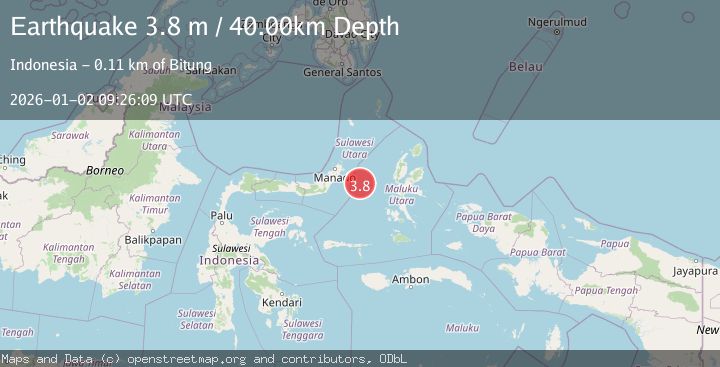
A 3.8 magnitude earthquake struck on MOLUCCA SEA, at Fri, 02 Jan 2026 09:26:09 GMT. Depth: 40km. Reviewed by BMKG seismologists, this minor quake occurred at a magnitude type of m.
Magnitude
3.8
m
Source
BMKG
Intensity
-
Agency Reports
1 Sources| Source | Magnitude | Depth | Time |
|---|---|---|---|
| BMKGPrimary | 3.8 | 40 km | 1 month ago |
Earthquake Details
AutomaticEvent IDemsc_BMKG_20260102_0000118
Tsunami PotentialNo
Magnitude Typem
Nearest Places
- Kelurahan Pantai Sagu24.8 km
- Pulau Tifore25.0 km
- Kelurahan Tifure25.0 km
- Pulau Gureda26.5 km
- Maluku Sea38.1 km
Comments
Join the discussion about this event.
Latest Earthquakes
2.1Mag
northern Alaska
Time2 minutes ago
Depth0.00 km
SourceVYT (Automatic)
2.9Mag
Seram, Indonesia
Time10 minutes ago
Depth15.78 km
SourceBMKG
2.5Mag
Java, Indonesia
Time11 minutes ago
Depth115.38 km
SourceBMKG
1.4Mag
7 km NW of The Geysers, CA
Time15 minutes ago
Depth1.65 km
SourceUSGS (Automatic)
1.1Mag
7 km NE of San Jacinto, CA
Time20 minutes ago
Depth16.11 km
SourceUSGS (Automatic)
Nearby Earthquakes
5.5Mag
MOLUCCA SEA
Time18 years ago
Depth20.00 km
SourceEMSC (Automatic)
3.0Mag
MOLUCCA SEA
Time1 year ago
Depth14.00 km
SourceBMKG (Automatic)
4.0Mag
MOLUCCA SEA
Time6 years ago
Depth10.00 km
SourceDJA (Automatic)
3.0Mag
MOLUCCA SEA
Time3 years ago
Depth11.00 km
SourceDJA (Automatic)
4.0Mag
MOLUCCA SEA
Time5 years ago
Depth10.00 km
SourceDJA (Automatic)