Earthquake NORTHERN SUMATRA, INDONESIA
Sat, 03 Jan 2026 06:54:21 GMT
Time1 month ago
Location
5.4700, 95.5600
Depth
6.0 KM
Event Summary
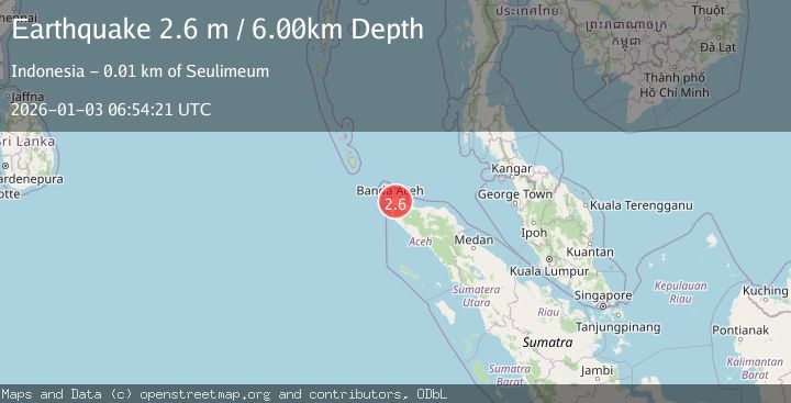
A 2.6 magnitude earthquake struck on NORTHERN SUMATRA, INDONESIA, at Sat, 03 Jan 2026 06:54:21 GMT. Depth: 6km. Reviewed by BMKG seismologists, this minor quake occurred at a magnitude type of m.
Magnitude
2.6
m
Source
BMKG
Intensity
-
Agency Reports
1 Sources| Source | Magnitude | Depth | Time |
|---|---|---|---|
| BMKGPrimary | 2.6 | 6 km | 1 month ago |
Earthquake Details
AutomaticEvent IDemsc_BMKG_20260103_0000093
Tsunami PotentialNo
Magnitude Typem
Nearest Places
- Cot Glangang2.1 km
- Alue Bleang2.3 km
- Gampong Lambada2.6 km
- Danau Taleuthu3.3 km
- Cot Bateeraya3.5 km
Comments
Join the discussion about this event.
Latest Earthquakes
3.0Mag
Tarapaca, Chile
Time7 hours ago
Depth140.38 km
SourceVYT (Automatic)
1.4Mag
Kenai Peninsula, Alaska
Time7 hours ago
Depth0.00 km
SourceVYT (Automatic)
2.8Mag
Northern Molucca Sea
Time7 hours ago
Depth17.04 km
SourceBMKG
2.4Mag
Fox Islands, Aleutian Islands, Alaska
Time7 hours ago
Depth1.22 km
SourceVYT (Automatic)
2.8Mag
Flores region, Indonesia
Time7 hours ago
Depth190.67 km
SourceVYT (Automatic)
Nearby Earthquakes
3.0Mag
NORTHERN SUMATRA, INDONESIA
Time5 years ago
Depth91.00 km
SourceDJA (Automatic)
5.3Mag
NORTHERN SUMATRA, INDONESIA
Time21 years ago
Depth33.00 km
SourceEMSC (Automatic)
5.1Mag
NORTHERN SUMATRA, INDONESIA
Time10 months ago
Depth10.00 km
SourceEMSC (Automatic)
3.0Mag
NORTHERN SUMATRA, INDONESIA
Time10 months ago
Depth10.00 km
SourceBMKG (Automatic)
3.0Mag
NORTHERN SUMATRA, INDONESIA
Time1 year ago
Depth10.00 km
SourceBMKG (Automatic)