Earthquake NORTHERN SUMATRA, INDONESIA
Sat, 03 Jan 2026 08:18:17 GMT
Time1 month ago
Location
0.7200, 100.0000
Depth
154.0 KM
Event Summary
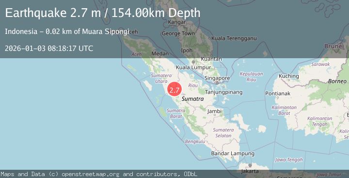
A 2.7 magnitude earthquake struck on NORTHERN SUMATRA, INDONESIA, at Sat, 03 Jan 2026 08:18:17 GMT. Depth: 154km. Reviewed by BMKG seismologists, this minor quake occurred at a magnitude type of m.
Magnitude
2.7
m
Source
BMKG
Intensity
-
Agency Reports
1 Sources| Source | Magnitude | Depth | Time |
|---|---|---|---|
| BMKGPrimary | 2.7 | 154 km | 1 month ago |
Earthquake Details
AutomaticEvent IDemsc_BMKG_20260103_0000112
Tsunami PotentialNo
Magnitude Typem
Nearest Places
- 3.5 km
- 4.1 km
- 4.3 km
- 4.5 km
- 4.7 km
Comments
Join the discussion about this event.
Latest Earthquakes
3.3Mag
Antofagasta, Chile
Time1 minute ago
Depth500.12 km
SourceVYT (Automatic)
1.4Mag
16 km NW of Parkfield, CA
Time8 minutes ago
Depth3.18 km
SourceUSGS (Automatic)
1.9Mag
Southern California
Time8 minutes ago
Depth11.11 km
SourceVYT (Automatic)
1.9Mag
Sweden
Time10 minutes ago
Depth11.84 km
SourceVYT (Automatic)
0.8Mag
9 km NNW of Perryville, Alaska
Time13 minutes ago
Depth118.40 km
SourceUSGS (Automatic)
Nearby Earthquakes
3.0Mag
NORTHERN SUMATRA, INDONESIA
Time5 years ago
Depth10.00 km
SourceDJA (Automatic)
3.0Mag
NORTHERN SUMATRA, INDONESIA
Time8 months ago
Depth10.00 km
SourceBMKG (Automatic)
2.5Mag
Northern Sumatra, Indonesia
Time3 weeks ago
Depth10.00 km
SourceBMKG (Automatic)
4.0Mag
NORTHERN SUMATRA, INDONESIA
Time2 years ago
Depth161.00 km
SourceDJA (Automatic)
4.0Mag
NORTHERN SUMATRA, INDONESIA
Time3 years ago
Depth10.00 km
SourceDJA (Automatic)