Earthquake Northern Sumatra, Indonesia
Fri, 30 Jan 2026 14:38:56 GMT
Time1 hour ago
Location
0.6493, 99.9329
Depth
10.0 KM
Event Summary
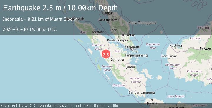
A 2.4 magnitude earthquake struck on Northern Sumatra, Indonesia, at Fri, 30 Jan 2026 14:38:56 GMT. Depth: 10km. Reviewed by BMKG seismologists, this minor quake occurred at a magnitude type of M.
Magnitude
2.4
M
Source
BMKG
Intensity
-
Agency Reports
1 Sources| Source | Magnitude | Depth | Time |
|---|---|---|---|
| BMKGPrimary | 2.4 | 10 km | 1 hour ago |
Earthquake Details
AutomaticEvent IDbmg2026cccp
Tsunami PotentialNo
Magnitude TypeM
Nearest Places
- Desa Sibinail3.4 km
- Cubadak3.9 km
- Paninggarahan4.5 km
- Paninggarahan5.1 km
- Desa Ranjo Batu5.8 km
Comments
Join the discussion about this event.
Latest Earthquakes
3.8Mag
MAULE, CHILE
Time1 hour ago
Depth184.50 km
SourceCSN (Automatic)
2.8Mag
Southern Molucca Sea
Time1 hour ago
Depth102.12 km
SourceBMKG (Automatic)
2.5Mag
Timor Region
Time1 hour ago
Depth13.32 km
SourceBMKG (Automatic)
1.5Mag
2 km SW of Hollister, CA
Time1 hour ago
Depth8.65 km
SourceUSGS (Automatic)
3.0Mag
MORO GULF, MINDANAO, PHILIPPINES
Time2 hours ago
Depth8.00 km
SourcePIVS (Automatic)
Nearby Earthquakes
2.9Mag
Northern Sumatra, Indonesia
Time5 days ago
Depth139.67 km
SourceBMKG (Automatic)
2.6Mag
Northern Sumatra, Indonesia
Time4 days ago
Depth8.35 km
SourceBMKG (Automatic)
2.9Mag
Northern Sumatra, Indonesia
Time1 week ago
Depth147.68 km
SourceBMKG (Automatic)
2.7Mag
NORTHERN SUMATRA, INDONESIA
Time4 days ago
Depth130.00 km
SourceBMKG (Automatic)
2.5Mag
NORTHERN SUMATRA, INDONESIA
Time6 days ago
Depth8.00 km
SourceBMKG (Automatic)