Earthquake NEAR N COAST OF PAPUA, INDONESIA
Sun, 04 Jan 2026 00:34:06 GMT
Time1 month ago
Location
-1.5100, 139.1600
Depth
10.0 KM
Event Summary
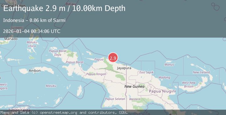
A 2.9 magnitude earthquake struck on NEAR N COAST OF PAPUA, INDONESIA, at Sun, 04 Jan 2026 00:34:06 GMT. Depth: 10km. Reviewed by BMKG seismologists, this minor quake occurred at a magnitude type of m.
Magnitude
2.9
m
Source
BMKG
Intensity
-
Agency Reports
1 Sources| Source | Magnitude | Depth | Time |
|---|---|---|---|
| BMKGPrimary | 2.9 | 10 km | 1 month ago |
Earthquake Details
AutomaticEvent IDemsc_BMKG_20260104_0000009
Tsunami PotentialNo
Magnitude Typem
Nearest Places
- Kampung Armo44.4 km
- Pulau Armo44.9 km
- Pulau Lamsutu46.8 km
- Pulau-pulau Kumamba47.6 km
- Kampung Liki49.2 km
Comments
Join the discussion about this event.
Latest Earthquakes
2.7Mag
Tarapaca, Chile
Time1 minute ago
Depth47.00 km
SourceVYT (Automatic)
1.3Mag
Southeastern Alaska
Time2 minutes ago
Depth0.00 km
SourceVYT (Automatic)
1.5Mag
British Columbia, Canada
Time4 minutes ago
Depth25.88 km
SourceVYT (Automatic)
2.9Mag
Antofagasta, Chile
Time9 minutes ago
Depth109.25 km
SourceVYT (Automatic)
1.9Mag
Andreanof Islands, Aleutian Islands, Alaska
Time11 minutes ago
Depth0.85 km
SourceVYT (Automatic)
Nearby Earthquakes
4.0Mag
NEAR N COAST OF PAPUA, INDONESIA
Time5 months ago
Depth10.00 km
SourceBMKG (Automatic)
4.0Mag
NEAR N COAST OF PAPUA, INDONESIA
Time5 months ago
Depth5.00 km
SourceBMKG (Automatic)
3.2Mag
Near North Coast of West Papua
Time3 weeks ago
Depth10.00 km
SourceBMKG (Automatic)
3.5Mag
Near North Coast of West Papua
Time5 days ago
Depth25.12 km
SourceBMKG
3.2Mag
NEAR N COAST OF PAPUA, INDONESIA
Time1 month ago
Depth24.00 km
SourceBMKG (Automatic)