Earthquake Near North Coast of West Papua
Sat, 14 Feb 2026 05:13:34 GMT
Time5 days ago
Location
-1.5479, 139.0777
Depth
25.1 KM
Event Summary
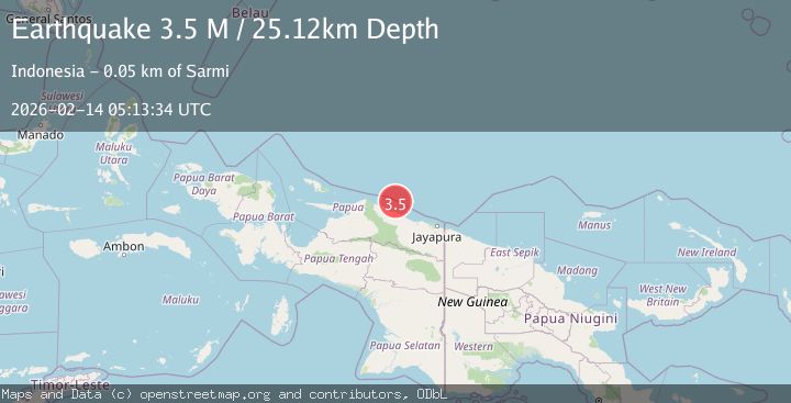
A 3.5 magnitude earthquake struck on Near North Coast of West Papua, at Sat, 14 Feb 2026 05:13:34 GMT. Depth: 25.115414km. Reviewed by BMKG seismologists, this minor quake occurred at a magnitude type of M.
Magnitude
3.5
M
Source
BMKG
Intensity
-
Agency Reports
1 Sources| Source | Magnitude | Depth | Time |
|---|---|---|---|
| BMKGPrimary | 3.5 | 25 km | 5 days ago |
Earthquake Details
ManualEvent IDbmg2026dcum
Tsunami PotentialNo
Magnitude TypeM
Nearest Places
- Kampung Armo34.3 km
- Pulau Armo34.8 km
- Pulau Lamsutu36.8 km
- Pulau-pulau Kumamba37.6 km
- Kampung Liki39.4 km
Comments
Join the discussion about this event.
Latest Earthquakes
0.7Mag
8 km NW of The Geysers, CA
Time3 minutes ago
Depth1.59 km
SourceUSGS (Automatic)
1.2Mag
Southern Alaska
Time4 minutes ago
Depth16.72 km
SourceVYT (Automatic)
1.6Mag
49 km W of Mentone, Texas
Time4 minutes ago
Depth4.59 km
SourceUSGS (Automatic)
3.1Mag
northern Colombia
Time6 minutes ago
Depth219.97 km
SourceVYT (Automatic)
2.2Mag
Sumbawa Region, Indonesia
Time9 minutes ago
Depth15.54 km
SourceBMKG
Nearby Earthquakes
4.0Mag
NEAR N COAST OF PAPUA, INDONESIA
Time5 months ago
Depth5.00 km
SourceBMKG (Automatic)
2.9Mag
NEAR N COAST OF PAPUA, INDONESIA
Time1 month ago
Depth10.00 km
SourceBMKG (Automatic)
4.0Mag
NEAR N COAST OF PAPUA, INDONESIA
Time5 months ago
Depth10.00 km
SourceBMKG (Automatic)
3.0Mag
NEAR N COAST OF PAPUA, INDONESIA
Time2 months ago
Depth10.00 km
SourceBMKG (Automatic)
4.0Mag
NEAR N COAST OF PAPUA, INDONESIA
Time5 years ago
Depth10.00 km
SourceDJA (Automatic)