Earthquake SUMBA REGION, INDONESIA
Mon, 05 Jan 2026 12:57:33 GMT
Time1 month ago
Location
-9.9700, 119.4700
Depth
15.0 KM
Event Summary
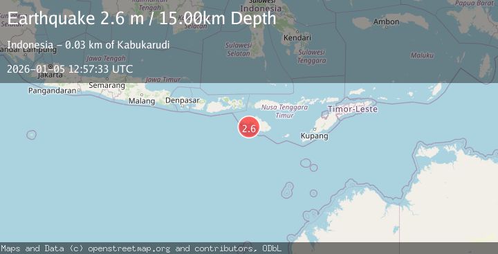
A 2.6 magnitude earthquake struck on SUMBA REGION, INDONESIA, at Mon, 05 Jan 2026 12:57:33 GMT. Depth: 15km. Reviewed by BMKG seismologists, this minor quake occurred at a magnitude type of m.
Magnitude
2.6
m
Source
BMKG
Intensity
-
Agency Reports
1 Sources| Source | Magnitude | Depth | Time |
|---|---|---|---|
| BMKGPrimary | 2.6 | 15 km | 1 month ago |
Earthquake Details
AutomaticEvent IDemsc_BMKG_20260105_0000187
Tsunami PotentialNo
Magnitude Typem
Nearest Places
- Tanjung Karoka21.2 km
- Tanjung Mujupraihau21.5 km
- Ratiwodu21.6 km
- Kerijara21.7 km
- Praikapetang22.0 km
Comments
Join the discussion about this event.
Latest Earthquakes
1.1Mag
31 km WSW of Ackerly, Texas
Time7 minutes ago
Depth3.93 km
SourceUSGS (Automatic)
2.4Mag
West Papua Region, Indonesia
Time14 minutes ago
Depth10.00 km
SourceBMKG
3.3Mag
Talaud Islands, Indonesia
Time15 minutes ago
Depth10.00 km
SourceBMKG
1.1Mag
4 km NW of The Geysers, CA
Time16 minutes ago
Depth3.39 km
SourceUSGS (Automatic)
1.0Mag
33 km WSW of Ackerly, Texas
Time16 minutes ago
Depth4.44 km
SourceUSGS (Automatic)
Nearby Earthquakes
3.0Mag
SUMBA REGION, INDONESIA
Time4 months ago
Depth17.00 km
SourceBMKG (Automatic)
4.0Mag
SUMBA REGION, INDONESIA
Time4 years ago
Depth62.00 km
SourceNEIC (Automatic)
4.0Mag
SUMBA REGION, INDONESIA
Time4 years ago
Depth10.00 km
SourceDJA (Automatic)
3.0Mag
SUMBA REGION, INDONESIA
Time5 years ago
Depth25.00 km
SourceDJA (Automatic)
2.6Mag
SUMBA REGION, INDONESIA
Time1 month ago
Depth15.00 km
SourceBMKG (Automatic)