Earthquake MOLUCCA SEA
Wed, 07 Jan 2026 18:15:44 GMT
Time1 month ago
Location
0.7700, 126.3100
Depth
27.0 KM
Event Summary
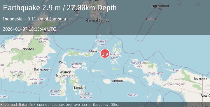
A 2.9 magnitude earthquake struck on MOLUCCA SEA, at Wed, 07 Jan 2026 18:15:44 GMT. Depth: 27km. Reviewed by BMKG seismologists, this minor quake occurred at a magnitude type of m.
Magnitude
2.9
m
Source
BMKG
Intensity
-
Agency Reports
1 Sources| Source | Magnitude | Depth | Time |
|---|---|---|---|
| BMKGPrimary | 2.9 | 27 km | 1 month ago |
Earthquake Details
AutomaticEvent IDemsc_BMKG_20260107_0000313
Tsunami PotentialNo
Magnitude Typem
Nearest Places
- Kelurahan Tifure28.7 km
- Pulau Tifore29.4 km
- Kelurahan Pantai Sagu30.1 km
- Pulau Gureda30.2 km
- Maluku Sea45.7 km
Comments
Join the discussion about this event.
Latest Earthquakes
0.6Mag
12 km SE of Anza, CA
Time3 minutes ago
Depth6.49 km
SourceUSGS (Automatic)
2.6Mag
western Texas
Time5 minutes ago
Depth12.70 km
SourceVYT (Automatic)
2.0Mag
Sumbawa Region, Indonesia
Time6 minutes ago
Depth21.49 km
SourceBMKG
1.0Mag
Southern Alaska
Time7 minutes ago
Depth1.34 km
SourceVYT (Automatic)
1.7Mag
Dead Sea region
Time8 minutes ago
Depth0.00 km
SourceVYT (Automatic)
Nearby Earthquakes
3.0Mag
MOLUCCA SEA
Time3 years ago
Depth28.00 km
SourceDJA (Automatic)
5.7Mag
MOLUCCA SEA
Time6 years ago
Depth10.00 km
SourceEMSC (Automatic)
4.0Mag
MOLUCCA SEA
Time1 year ago
Depth10.00 km
SourceBMKG (Automatic)
3.6Mag
Northern Molucca Sea
Time2 weeks ago
Depth10.00 km
SourceBMKG (Automatic)
5.2Mag
MOLUCCA SEA
Time20 years ago
Depth100.00 km
SourceEMSC (Automatic)