Earthquake Northern Molucca Sea
Fri, 30 Jan 2026 04:07:50 GMT
Time4 hours ago
Location
0.8303, 126.2628
Depth
10.0 KM
Event Summary
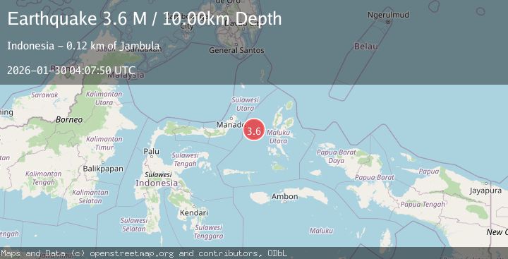
A 3.6 magnitude earthquake struck on Northern Molucca Sea, at Fri, 30 Jan 2026 04:07:50 GMT. Depth: 10km. Reviewed by BMKG seismologists, this minor quake occurred at a magnitude type of M.
Magnitude
3.6
M
Source
BMKG
Intensity
-
Agency Reports
1 Sources| Source | Magnitude | Depth | Time |
|---|---|---|---|
| BMKGPrimary | 3.6 | 10 km | 4 hours ago |
Earthquake Details
AutomaticEvent IDbmg2026cbht
Tsunami PotentialNo
Magnitude TypeM
Nearest Places
- Kelurahan Tifure20.2 km
- Pulau Tifore20.9 km
- Kelurahan Pantai Sagu21.6 km
- Pulau Gureda21.6 km
- Maluku Sea46.9 km
Comments
Join the discussion about this event.
Latest Earthquakes
2.9Mag
Sumbawa Region, Indonesia
Time4 hours ago
Depth10.00 km
SourceBMKG (Automatic)
2.1Mag
Sulawesi, Indonesia
Time5 hours ago
Depth5.00 km
SourceBMKG (Automatic)
2.7Mag
Java, Indonesia
Time5 hours ago
Depth10.00 km
SourceBMKG (Automatic)
2.7Mag
SALTA, ARGENTINA
Time5 hours ago
Depth237.80 km
SourceCSN (Automatic)
2.7Mag
TARAPACA, CHILE
Time5 hours ago
Depth176.50 km
SourceCSN (Automatic)
Nearby Earthquakes
3.0Mag
Northern Molucca Sea
Time4 days ago
Depth25.04 km
SourceBMKG (Automatic)
3.1Mag
Northern Molucca Sea
Time4 days ago
Depth27.94 km
SourceBMKG (Automatic)
4.7Mag
Northern Molucca Sea
Time1 week ago
Depth23.34 km
SourceBMKG (Automatic)
3.1Mag
Northern Molucca Sea
Time1 day ago
Depth14.98 km
SourceBMKG (Automatic)
3.1Mag
Northern Molucca Sea
Time2 days ago
Depth31.63 km
SourceBMKG (Automatic)