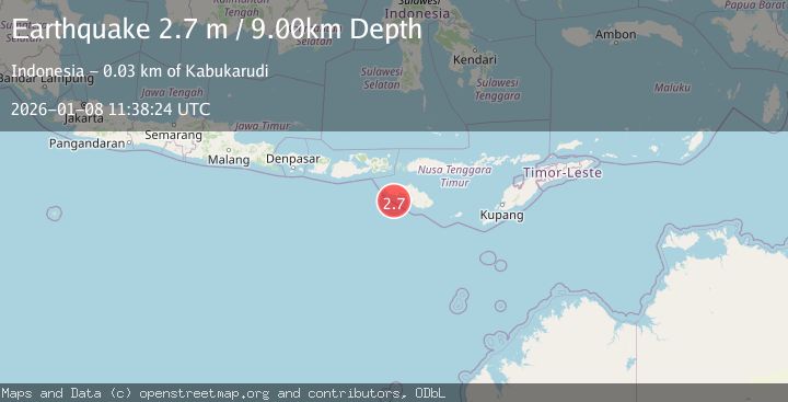
Earthquake SUMBA REGION, INDONESIA
Thu, 08 Jan 2026 11:38:24 GMT
Time1 month ago
Location
-9.9800, 119.2900
Depth
9.0 KM
Event Summary
A 2.7 magnitude earthquake struck on SUMBA REGION, INDONESIA, at Thu, 08 Jan 2026 11:38:24 GMT. Depth: 9km. Reviewed by BMKG seismologists, this minor quake occurred at a magnitude type of m.
Magnitude
2.7
m
Source
BMKG
Intensity
-
Agency Reports
1 Sources| Source | Magnitude | Depth | Time |
|---|---|---|---|
| BMKGPrimary | 2.7 | 9 km | 1 month ago |
Earthquake Details
AutomaticEvent IDemsc_BMKG_20260108_0000166
Tsunami PotentialNo
Magnitude Typem
Nearest Places
- Tanjung Karoka23.1 km
- Loko Kahobe23.4 km
- Watu Adung23.6 km
- Kahabe23.8 km
- Tanjung Watubolo24.0 km
Comments
Join the discussion about this event.
Latest Earthquakes
1.4Mag
17 km S of Tres Pinos, CA
Time5 minutes ago
Depth5.12 km
SourceUSGS (Automatic)
1.8Mag
Southern Alaska
Time7 minutes ago
Depth0.00 km
SourceVYT (Automatic)
2.0Mag
Java, Indonesia
Time12 minutes ago
Depth5.00 km
SourceBMKG
0.7Mag
2 km SE of Loma Linda, CA
Time20 minutes ago
Depth3.87 km
SourceUSGS (Automatic)
2.3Mag
Sulawesi, Indonesia
Time22 minutes ago
Depth5.74 km
SourceBMKG
Nearby Earthquakes
3.0Mag
SUMBA REGION, INDONESIA
Time7 months ago
Depth15.00 km
SourceBMKG (Automatic)
2.6Mag
SUMBA REGION, INDONESIA
Time1 month ago
Depth15.00 km
SourceBMKG (Automatic)
4.0Mag
SUMBA REGION, INDONESIA
Time4 years ago
Depth62.00 km
SourceNEIC (Automatic)
3.0Mag
SUMBA REGION, INDONESIA
Time7 months ago
Depth6.00 km
SourceBMKG (Automatic)
3.0Mag
SUMBA REGION, INDONESIA
Time5 months ago
Depth21.00 km
SourceBMKG (Automatic)